

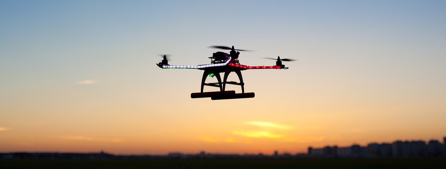
Drones on the horizon: new frontier in agricultural innovation
28.04.2016 57 views
Three years ago, the average person had no idea what a drone was – or associated these flying machines with weapons of warfare. Things have changed. Now, unmanned aerial vehicles, or UAVs (also known as drones) have become one of the world’s most publicised and intriguing technologies, used by people in a wide range of professions, from journalism to humanitarian aid work.
Farmers have always needed accurate and up-to-date information on the health of their crops and the environmental condition of the land. Agricultural aircraft have been in use since the 1920s, while agricultural experts increasingly use satellites to assess crop health from the sky. UAVs are a natural progression from macro to micro, from large-scale to small-scale farms.
While UAVs are unlikely to entirely replace manned aircraft or satellites, they have a number of advantages over these more traditional remote-sensing methods. The technology is capable of collecting very high-resolution imagery below the cloud level, with much more detail than the satellite imagery usually available to developing country analysts. They are easy to use: most drone mapping and data-collection missions are now conducted autonomously, meaning that the drone essentially flies itself, while drone data processing tools are becoming less expensive and easier to use.
Perhaps most importantly, drones are inexpensive. In 2016 it is possible to purchase a useful mapping UAV for less than $1,000. And surprisingly powerful mapping drones can be built at home for even less. While processing software can be expensive, open-source and lower cost options exist. Thanks to these low barriers to entry, UAVs are expected to provide significant help to farmers in developing countries, who historically have found it harder to access aerial imagery, either from manned aircraft or from satellites.
The multiple purposes of UAVs
But what can a farmer actually do with a drone? There are many possibilities, some of which are described in this magazine. On the most basic level, drones permit farmers to get a big picture view of their crops, allowing them to detect subtle changes that cannot be readily identified by "crop scouts" at the ground-level. UAVs equipped with special sensors can inexpensively collect multispectral Neutral Density Vegetation Index (NDVI) and infrared (IR) images, permitting farmers to view crop changes that are otherwise invisible to the human eye. This aerial data can also be used to speed up the painstaking process of conducting crop inventories and yield estimates – such as the palm tree counts and coconut oil yield estimates in Western Samoa that are described later in this magazine.
Crop insurers and insurance policy holders also benefit from readily-available and easily repeatable drone imagery: in India, insurers plan to use UAVs to conduct assessment of crop losses after natural disasters, allowing them to more accurately and quickly calculate pay-outs, while large US crop insurers like ADM have begun running their own drone tests.
Drones also have proven useful to agricultural planners, greatly reducing the time and cost required to conduct an accurate survey. UAVs can be used to conduct volume estimates, to create irrigation and drainage models, and to collect the data needed to generate high-definition, geographically accurate elevation models and maps. In an example described in this issue, a team tasked with planning a Nigerian rice farm used drone imagery to make decisions on the layout of both rice paddies and irrigation and drainage systems – and, thanks to the drone imagery, were able to quickly determine that their original design was poorly suited to the terrain that was actually available to them.
Empowering local communities and fighting pests
Ranchers and fishery managers are beginning to experiment with the technology, hoping to take advantage of UAVs’ ability to cut down on the time and expense of conducting patrols and reconnaissance work. Cattle ranchers with a lot of land to cover have used drones to determine where their livestock is, and some have found UAVs useful for conducting regular surveys of fencing. Long-range surveillance drones are being experimented with as a method of deterring and apprehending illegal fishing vessels in protected waters.
The technology also has the potential to empower indigenous communities to document illegal occupations of their territories and natural resources – as is described in this magazine. With UAV-gathered imagery of illegal logging and land occupancy government agencies can prioritise and speed up their inspection efforts, ensuring that a week-long field inspection will collect enough evidence to justify government intervention.
UAV technology may even be useful for fighting agricultural pests. The FAO has begun to investigate how drones may be used for detecting and eliminating locusts before they begin their destructive journeys – as can be read in this issue. In the US state of Florida, researchers are using sniffer dogs and UAVs to detect the redbay ambrosia beetle, an invasive pest that kill avocado trees.
A growing market
The international UAV market has grown considerably in the past few years, building on their demonstrated usefulness to agriculturalists and others. An August 2015 study from Grand View Research estimated the global commercial drone market size to be $552 million in 2014 – and its grow to $2.07 billion by 2022, with agriculture dominating other drone sectors. Other researchers have made similarly optimistic predictions for the growth of the agricultural drone industry.
While North America currently produces the most UAVs in the commercial industry in general and in the agricultural sector in particular, many analysts predict the European market is close behind it in both. Demand (and production) in the rest of the world, including ACP countries, currently lags behind North America and Europe, but particular growth is expected in Asia-Pacific and the Middle East, per a recent report from research firm Markets and Markets.
Numerous multinational corporations are major players in the commercial UAV industry, including Lockheed Martin, DJI, AeroVironment Inc., General Atomics, Israel Aerospace Industries, Parrot SA, and others. Other companies focus on UAV-specific services, including imagery processing, agricultural analysis, flight planning and drone-to-drone communication, and more. In developing nations, UAV service providers often will purchase a drone from a large manufacturer and then provide different mapping and analysis services as a small business – further decentralising the market. Some budget-minded small drone service providers build UAVs themselves from component parts. While UAVs are indisputably a promising technology, there are still a number of obstacles to surmount before they become a standard part of the farmer’s toolkit.
Demand for regulations
The largest barrier to drone’s wider adoption in the agricultural industry is regulatory, as nations grapple with the problem of keeping UAVs legal while securing air safety and privacy rights. Although some nations, such as South Africa, have already introduced detailed regulatory regimes, many others have no regulations at all. Countries like India, Nepal, and Kenya, have introduced strict restrictions or bans – meant to be lifted at a later, yet-to-be-determined date. In this magazine, after completing on behalf of CTA an ACP-wide study on the subject, Cédric Jeanneret provides a more comprehensive overview of the international state of drone governance and regulations.
The rule-making process is ongoing around the world, on the local, national, and international level. One such international effort is represented by JARUS (Joint Authorities for Rulemaking on Unmanned Systems), an experts group whose members include regional aviation safety organisations and various national aviation authorities (NAAs). JARUS works to suggest a single set of operational, safety and technical requirements for certifying UAVs and integrating them into airspace – which can then be used by each participating nation to craft their own UAV regulations.
Some drone-watchers are concerned that regulators will impose restrictions that are too onerous or too expensive for small-scale farmers to meet. Advocacy groups, like AUVSI (Association for Unmanned Vehicle Systems International), work to popularise the technology with the public and with policy-makers, with a goal of keeping the civilian use of UAV technology legal.
Capacity building
Awareness and education – or a lack thereof – present another barrier to the adoption of UAVs in the developing world. While drones are relatively easy to use, farmers will still need local-language training and technical support before they get started, as well as up-to-date information on the technologies legal status in their country.
Technical challenges present another barrier to the widespread adoption of UAV technology in less-developed countries. UAV operators need adequate access to electricity (for charging batteries) and the ability to obtain or craft spare parts. Processing drone data is another challenge: producing maps, 3D models, and other useful data outputs requires considerable computing power, or Internet and mobile data that’s quick enough to access cloud-computing services.
Drone operators, farm workers, and aid workers alike will need to develop methods of keeping UAVs functional in more remote areas.
A bright future
It's difficult to predict the future of UAV technology in agriculture, but there are many promising trends and pilot projects. Analysing UAV data is likely to become increasingly automatic, as intelligent computer systems become capable of identifying different crop varieties, automatically categorising and mapping weeds, and swiftly assessing crop damage from pests. Automated analysis may also make wide-scale agricultural mapping a less lengthy process, helping analysts more accurately detect signs of impending famine or crop failure.
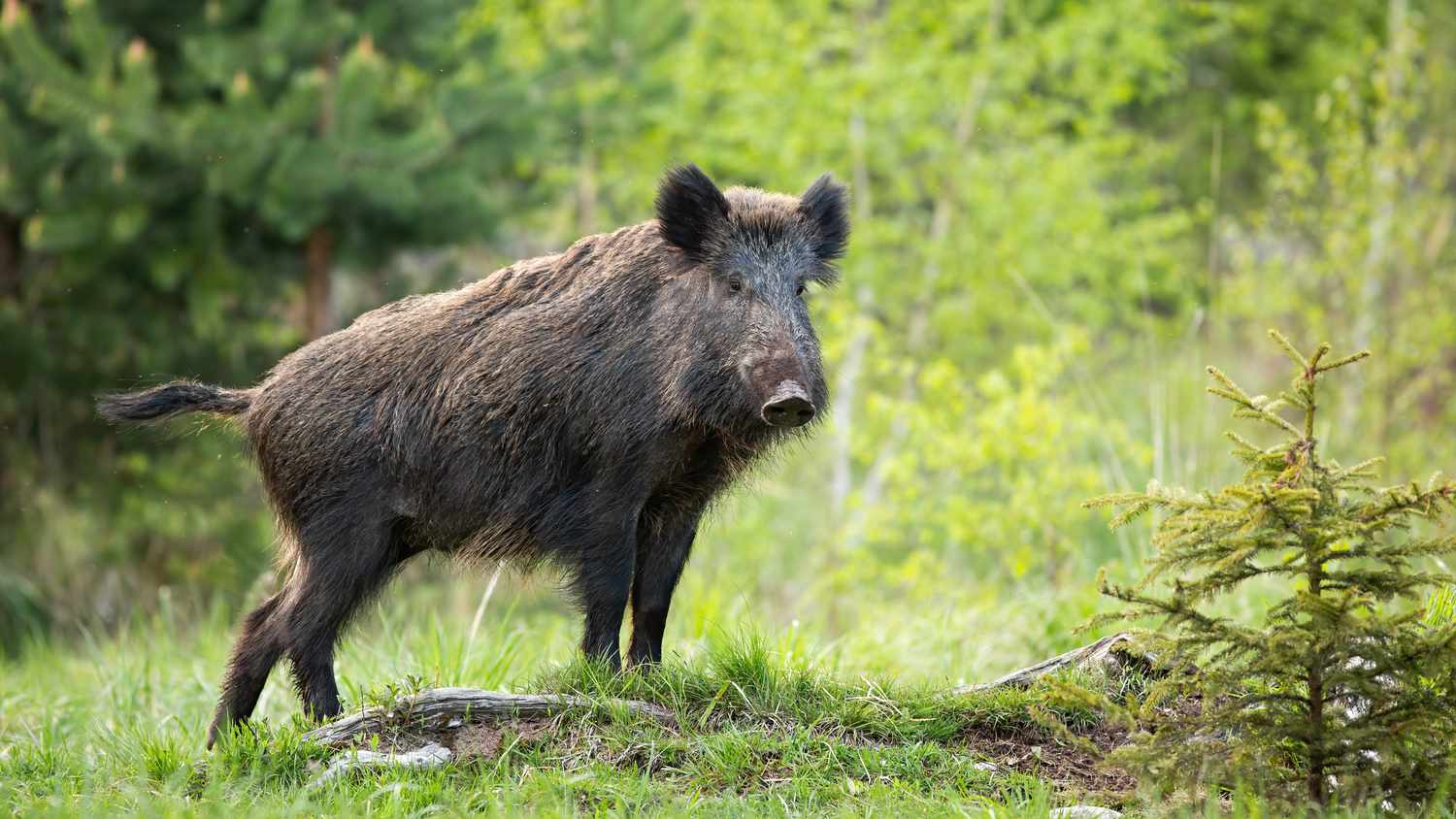
More intelligent UAVs can be used for precision crop spraying, enabling farmers to use chemicals in smaller amounts and minimising human contact with dangerous substances. UAVs may also be used for "search and destroy" pest control missions, identifying then wiping out particularly bothersome insects. The technology could be used to quickly determine the distribution of livestock, enabling veterinarians to quickly find animals that may be infected with ailments like foot-and-mouth disease (FMD) – or enabling farmers to swiftly identify the movements of larger crop pests, from wild boar to elephants. Yet more uses for drones are likely to be dreamed up in the near future.
UAVs may have the power to help farmers around the world monitor their crops, plan their farms, fend off pests, and more. To realise its full potential, actors along the agricultural value chain and lawmakers should work together to come up with ethical – but reasonable – regulatory regimes that keep UAVs legal, while keeping individual citizens’ safety and privacy rights secure. At the same time, development agencies should press forward with experimenting with UAV technology, pushing for a world where aerial imagery is available to all farmers.
Drone Terminology
Unmanned aircraft are referred to in many different ways. The word "drone" originates from the military, but is now widely used to describe civilian technologies. International standards and rules, notably those set by the International Civil Aviation Organization (ICAO) and the European Commission, refer to “unmanned aerial vehicles” (UAVs) as part of a broader category of unmanned aircraft that can be programmed to fly autonomously. The official terminology in civil aviation laws is "remotely piloted aircraft systems” (RPAS). "Unmanned aircraft system" (UAS) is also used by some regulators, such as the US Federal Aviation Administration (FAA).
Source - http://ictupdate.cta.int
EVENTS

2024 AgroInsurance International Conference: New Partners and Agenda updates
26.02.20242024 AgroInsurance International Conference will take place on June 3-5, 2024 in Belgrade, Serbia, at the Hyatt Regency Hotel. Planet Labs (USA) and GAF AG (Germany) are sponsors of our conference. Agremo (Serbia) has been confirmed as the Organization Partner. More partners and sponsors to be announced in March 2024.
RISK EVENTS
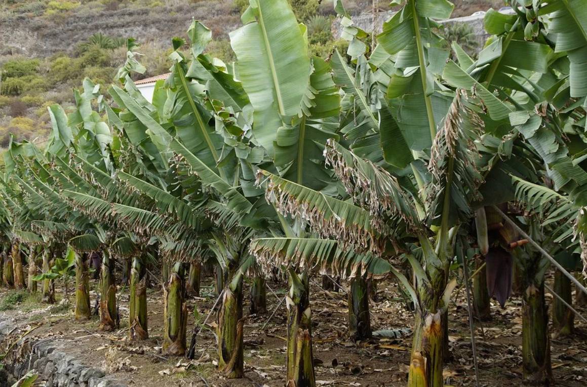
Spain - 30% of La Palma's banana production has already been lost due to the advance of the lava
14.10.2021More than three weeks after the Cumbre Vieja volcano erupted, the lava that continues to flow from its interior continues to devastate everything in its path, destroying houses, infrastructure, and banana plantations. The production of Platanos de Canarias is the economic engine of the island, accounting for 50% of its GDP and 30% of the jobs on the island.
23.04.2024

Czech Republic - Return of cold weather impacts crops
In Czechia, a rapid transition from mid-20s Celsius to sub-zero temperatures has significant implications for agriculture, particularly affecting early-blooming and growing crops. Miroslav Havránek, from the Charles University Environment Centre, highlights the broader consequence as a potential reduction in crop yields.
23.04.2024
UK - Weather will impact agriculture more and more
The 2023 weather conditions in Lincolnshire, UK, significantly impacted Andrew Branton's farm, leading to an unharvestable potato crop due to excessive rainfall. Approximately a year's worth of rain from late September to January submerged many fields, rendering the soil too wet and compacted for sowing spring crops.
23.04.2024
Syria - Wild animals ravaging crops in western Daraa
Farmers in the western countryside of Daraa suffer from the frequent encroachment of wild animals on their vegetable and fruit crops, as these animals eat the fruits and cause damage to agricultural produce.
23.04.2024
USA - Leading New Hampshire agriculture toward climate resilience
Agriculture sustains our very existence. Despite the misconception that large farms feed the world, it’s small-holding farmers who predominantly nourish us, while consistently outperforming their larger counterparts in yields and ecological sustainability.
23.04.2024
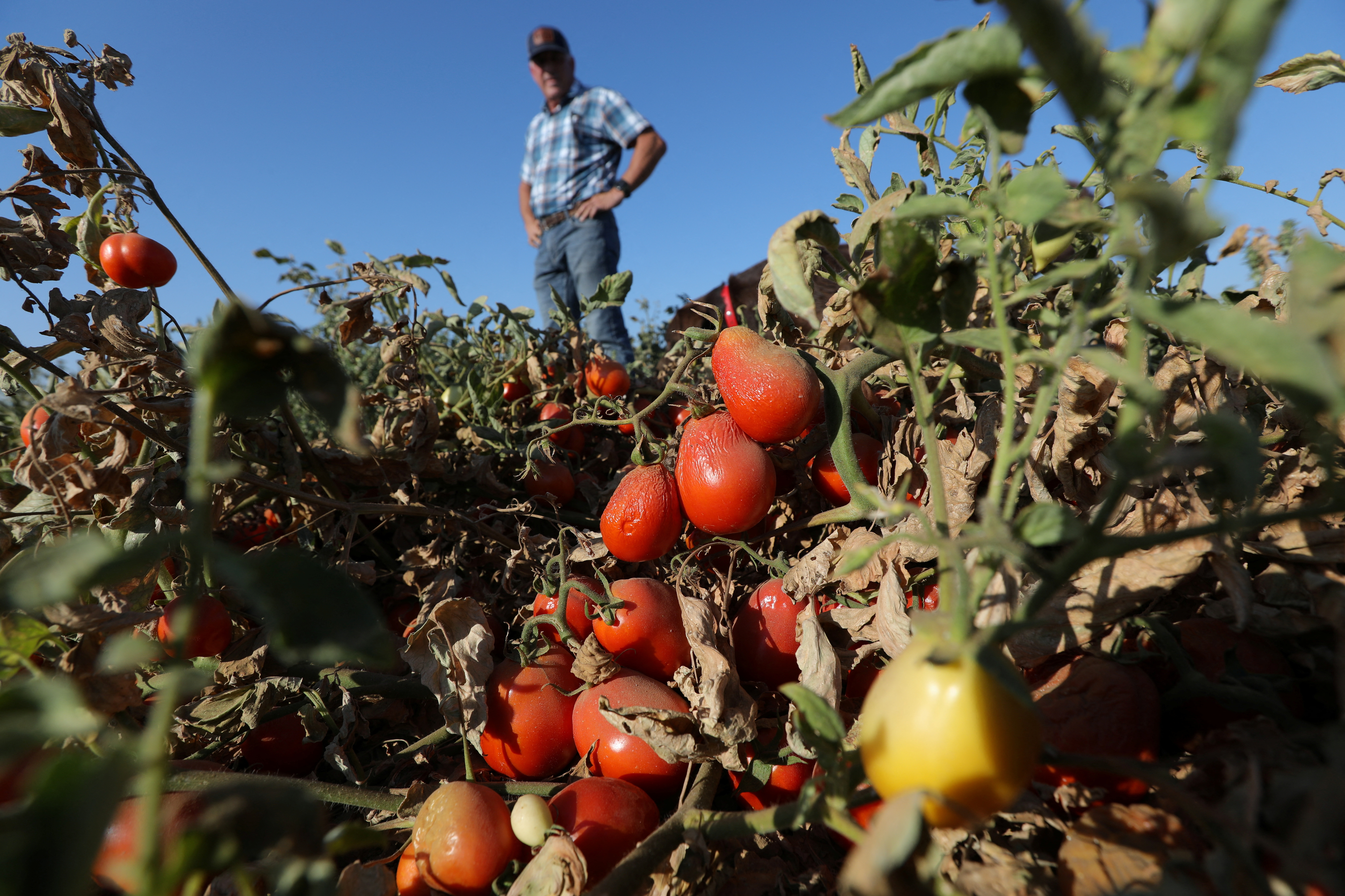
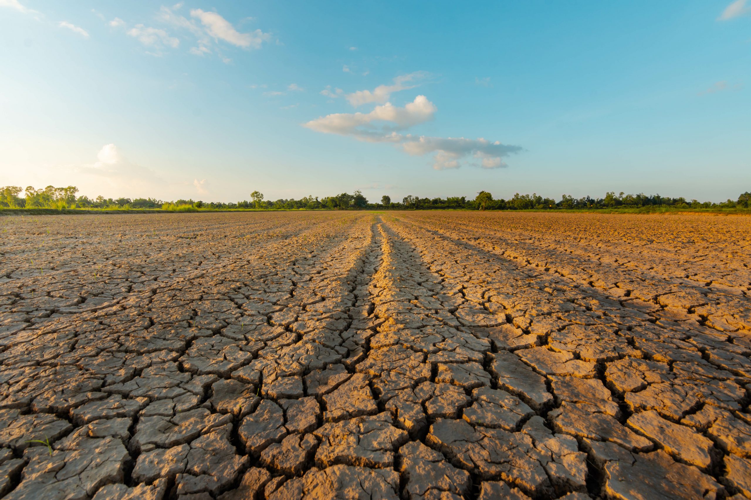
Philippines - Extreme drought hits Cebu City
He is giving out his tomatoes for free but not because of the abundance in harvest. He is Emelio Secretaria, a farmer who owns four hectares of farmland nestled in Barangay Sudlon 2, Cebu City. The drought due to El Niño did not exempt him from experiencing the worst.
23.04.2024
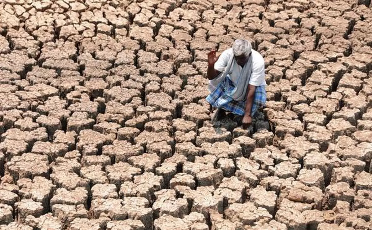
India - Karnataka Minister hopes for early release of funds by Centre for drought relief
On Karnataka State's plea in the Supreme Court seeking financial assistance for drought relief, Karnataka minister Krishna Byre Gowda said that the Government of India has agreed to take a decision within this week.
23.04.2024
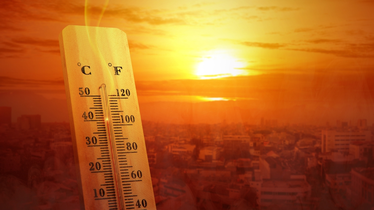
Bangladesh - Heatwave threatens mango-litchi yields, drastic crop loss feared
From expansive mango orchards to small family farms, reports indicate a significant decline in fruit budding compared to previous years, sparking fears of a collapse in mango and litchi yields.
23.04.2024
Philippines - Maguindanao Sur under state of calamity as crop losses reach P345M
Maguindanao del Sur Governor Bai Mariam Sangki-Mangudadatu has approved a resolution declaring the entire province a state of calamity due to huge agricultural losses brought about by drought.
