Clusters of heavy to severe storms are likely to continue, while progressing slowly to the east during Friday night over the Plains.


2024 AgroInsurance International Conference will take place on June 3-5, 2024 in Belgrade, Serbia, at the Hyatt Regency Hotel. Planet Labs (USA) and GAF AG (Germany) are sponsors of our conference. Agremo (Serbia) has been confirmed as the Organization Partner. More partners and sponsors to be announced in March 2024.
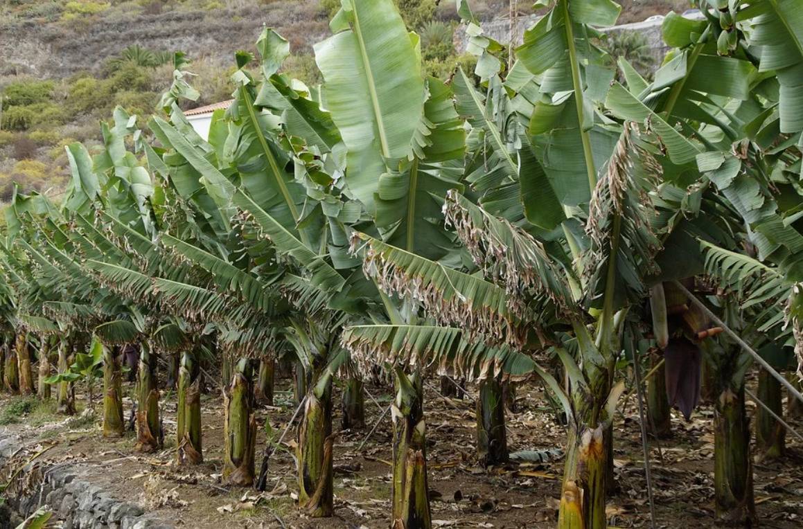
More than three weeks after the Cumbre Vieja volcano erupted, the lava that continues to flow from its interior continues to devastate everything in its path, destroying houses, infrastructure, and banana plantations. The production of Platanos de Canarias is the economic engine of the island, accounting for 50% of its GDP and 30% of the jobs on the island.
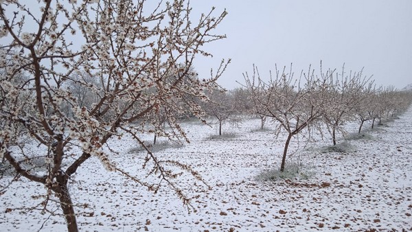
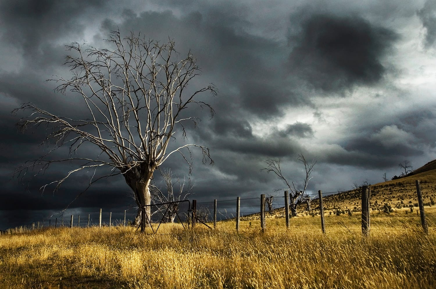
The risk of late frost damage to fruit crops and vineyards is increasing. As a result of climate change, winters are becoming milder and the growing season is being lengthened, says weather service Meteonews.

In the Okanagan-Similkameen region of Canada, cherry growers are confronting significant crop losses due to an extreme cold snap experienced in mid-January. BC Cherry Association president, Sukhpaul Bal, highlighted the unprecedented low yield, attributing it to the rising costs of farming and questioning the viability of cherry cultivation under these conditions.
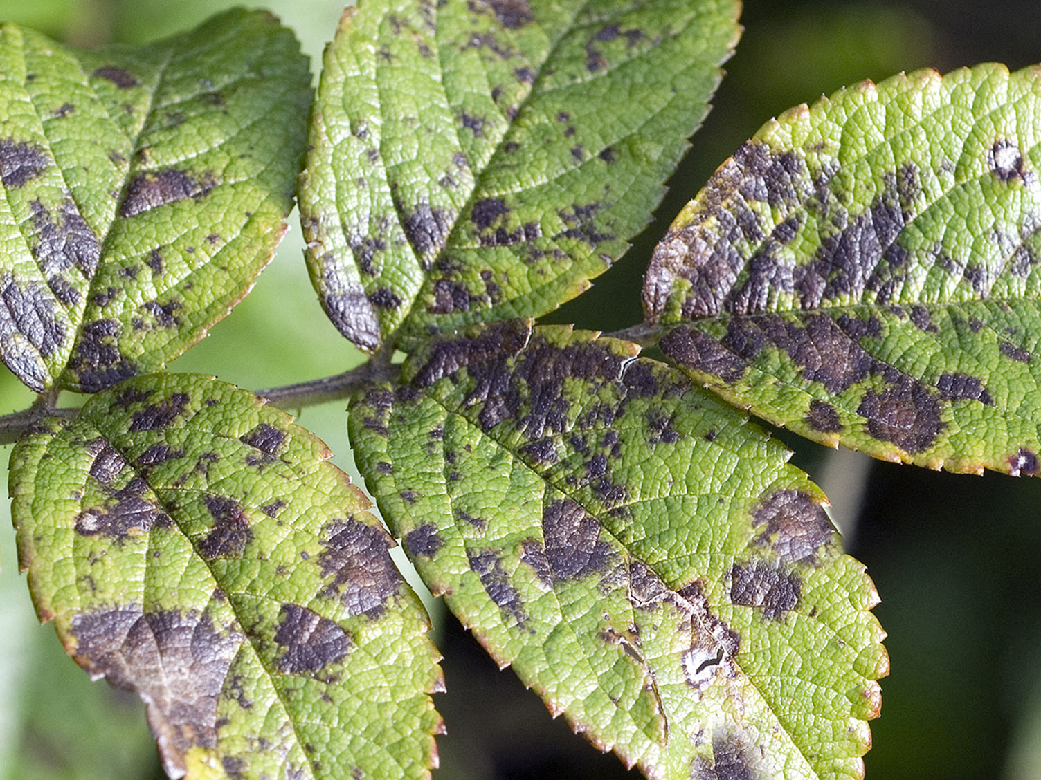
The plants slowly choke to death, wither and dry out. They die en masse, leaves dropping and bark turning grey, creating a sea of monochrome. Since scientists first discovered Xylella fastidiosa in 2013 in Puglia, Italy, it has killed a third of the region’s 60 million olive trees – which once produced almost half of Italy’s olive oil – many of which were centuries old.
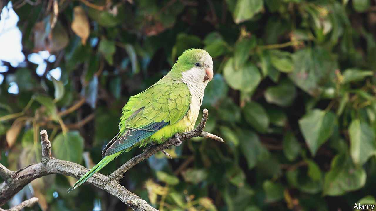
In Kauai, Hawaii, Bradley Smith, a local farmer, faces a significant challenge due to an invasive species of rose-ringed parakeets. Over the past year, these parakeets have caused a substantial loss of income for Smith by consuming a large portion of his rambutan crop.
The U.S. Department of Agriculture Farm Service Agency State Executive Director in Georgia, Arthur Tripp Jr., is reminding agricultural producers to timely report any damage or losses following inclement weather events in order to remain eligible for FSA disaster assistance programs and resources.
The Department of Agriculture-7 has reported around P30.7 million worth of rice and corn plantations in Central Visayas damaged by the drought and extreme heat being experienced in the country.

The Wildlife Damage Compensation Program (WDCP) compensates agricultural producers for wildlife damage to eligible unharvested crops, stacked hay, stacked greenfeed, as well as silage and haylage in pits and tubes.

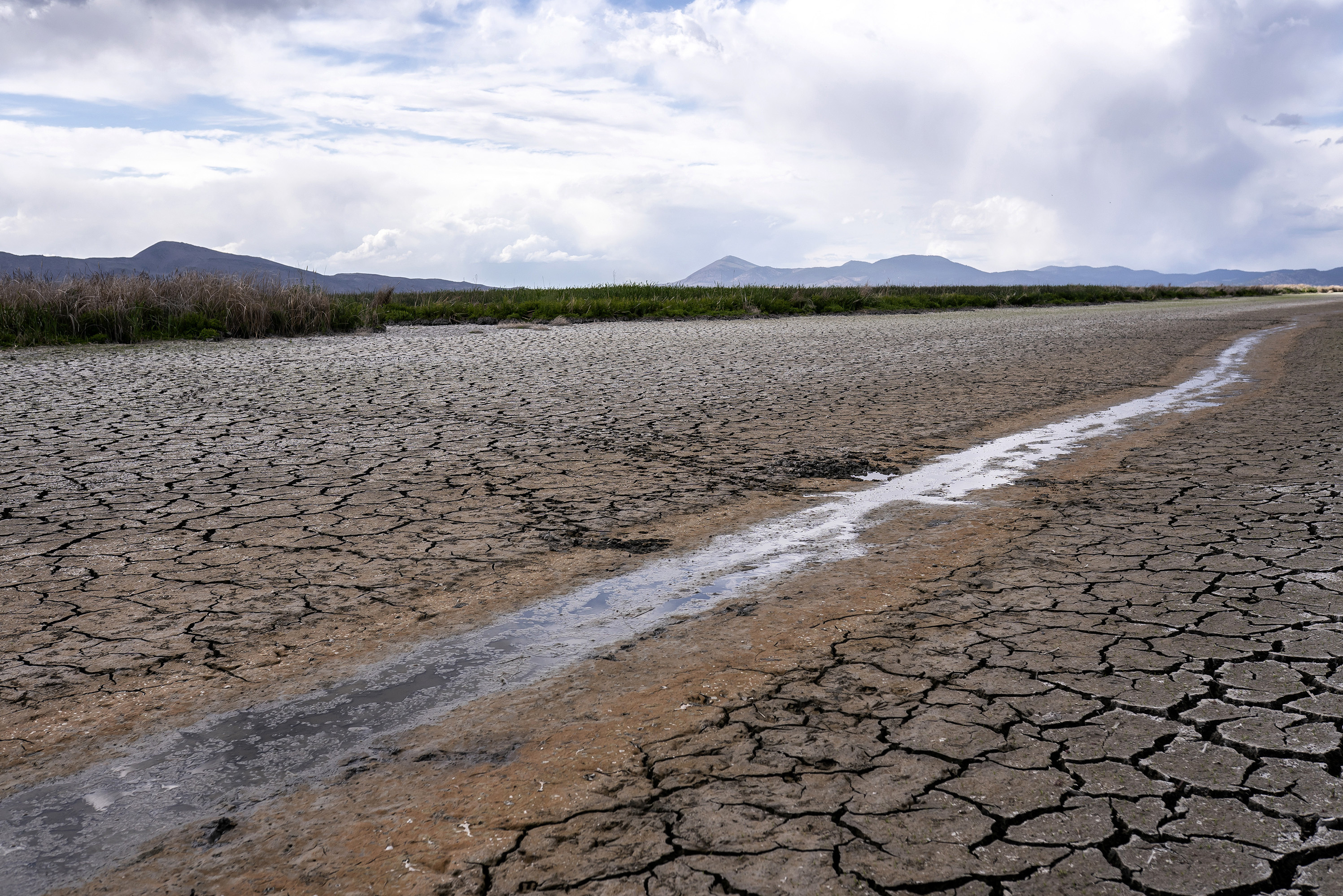
The ongoing floods in Kenya have wreaked havoc on agricultural communities, with property losses escalating alongside the destruction of farmlands and infrastructure. According to government reports and the Kenya Red Cross, over 110,000 individuals have been displaced by the morning of April 24, 2024.
