.png)
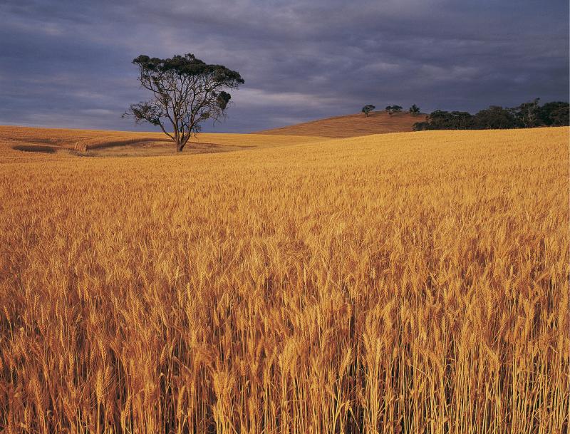
Index or parametric insurance has been offered internationally to manage risks in agriculture for over 20 years. It is a substitute to traditional indemnity insurance where payouts are explicitly based on loss estimations per each insured unit for a specific client. Index insurance relies on an index that is a proxy for a loss caused by an insured peril, allowing to provide farmers with efficient risk management solutions for perils which are either expensive (e.g. insurance on small field sizes) or difficult to insure (e.g. drought, tropical cyclones, flood, excessive rainfall) due to its systemic nature.
Index insurance products are intrinsically imperfect because they rely on proxies of a loss and not on actual observed crop damage. The residual uncertainty between the index and the actual crop damage is called a “basis risk”. Basis risk can originate as a result of data quality or originate from the index calculation methodology and result in an index inability to respond to losses and to initiate insurance payouts and vice versa result in payouts without an actual occurred loss.
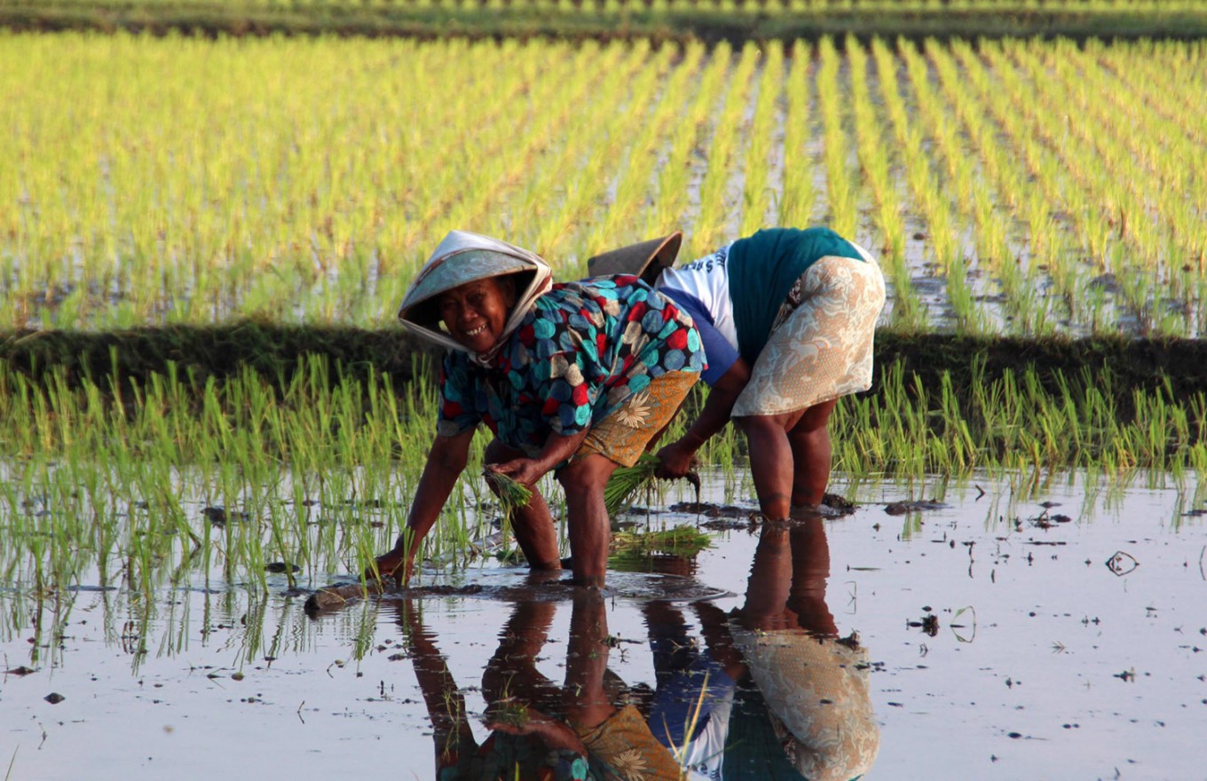
The insurance companies and organizations that design index insurance products for agriculture seek for the options to get better quality data for index design. There have been increasing efforts during the last years to make more and better use of remote sensing information from satellites to enhance or replace existing insurance products (e.g. precipitation based index products) and/or to enhance data quality and fill in the existing gaps in the data sets. While earth observation (EO) provides additional historical and near real-time data to improve index insurance products from the technical perspective, application of satellite technologies and data remains still limited within the agricultural insurance industry. The success of the uptake of Earth Observation (EO) data for index insurance depends on multiple factors and challenges. This paper wants to raise awareness on possibilities and capabilities for both sectors, the agro-insurance sector as well as the earth observation sector.
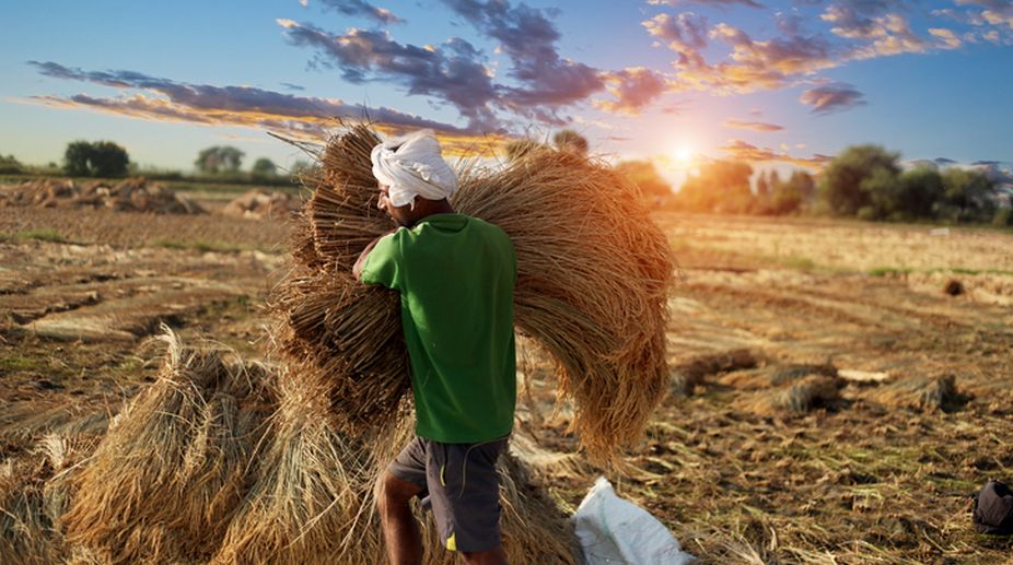
This paper is dedicated exclusively to index insurance as a risk management instrument in agriculture with the forward thinking of applying satellite data and technologies to enhance the existing insurance solutions, covering the traditional indemnity and index insurance products.
Source - https://www.geoville.com