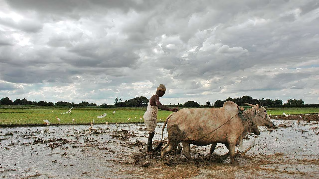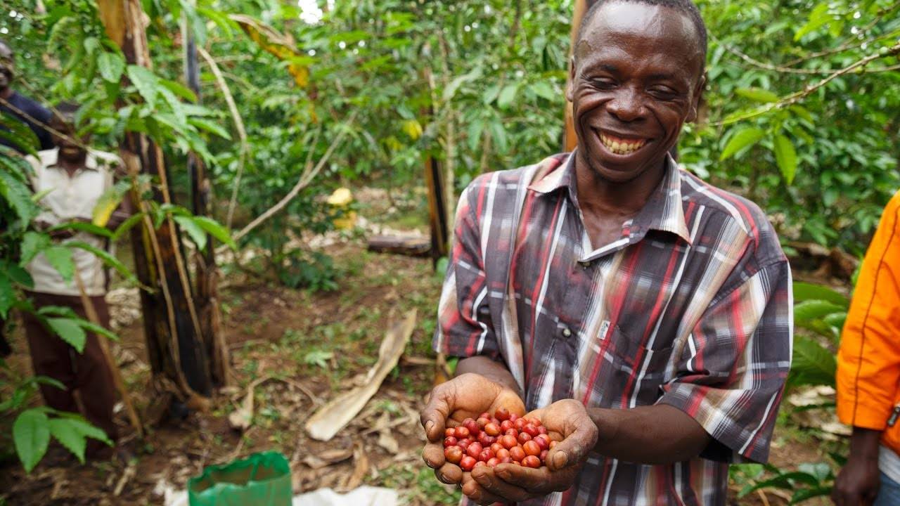
Over the summer, Edrick Bwambale, a field extension officer who works with farmers in southwestern Uganda to improve their production and productivity, wore a camera on his motorcycle helmet that captured photos as he drove from field to field.
He was participating in a pilot project taking place in the country, as well as in Kenya, for a new ground data collection effort called Helmets Labeling Crops. NASA Harvest — the food security and agriculture program of NASA — and its local partners collected hundreds of thousands of images over several days of testing.
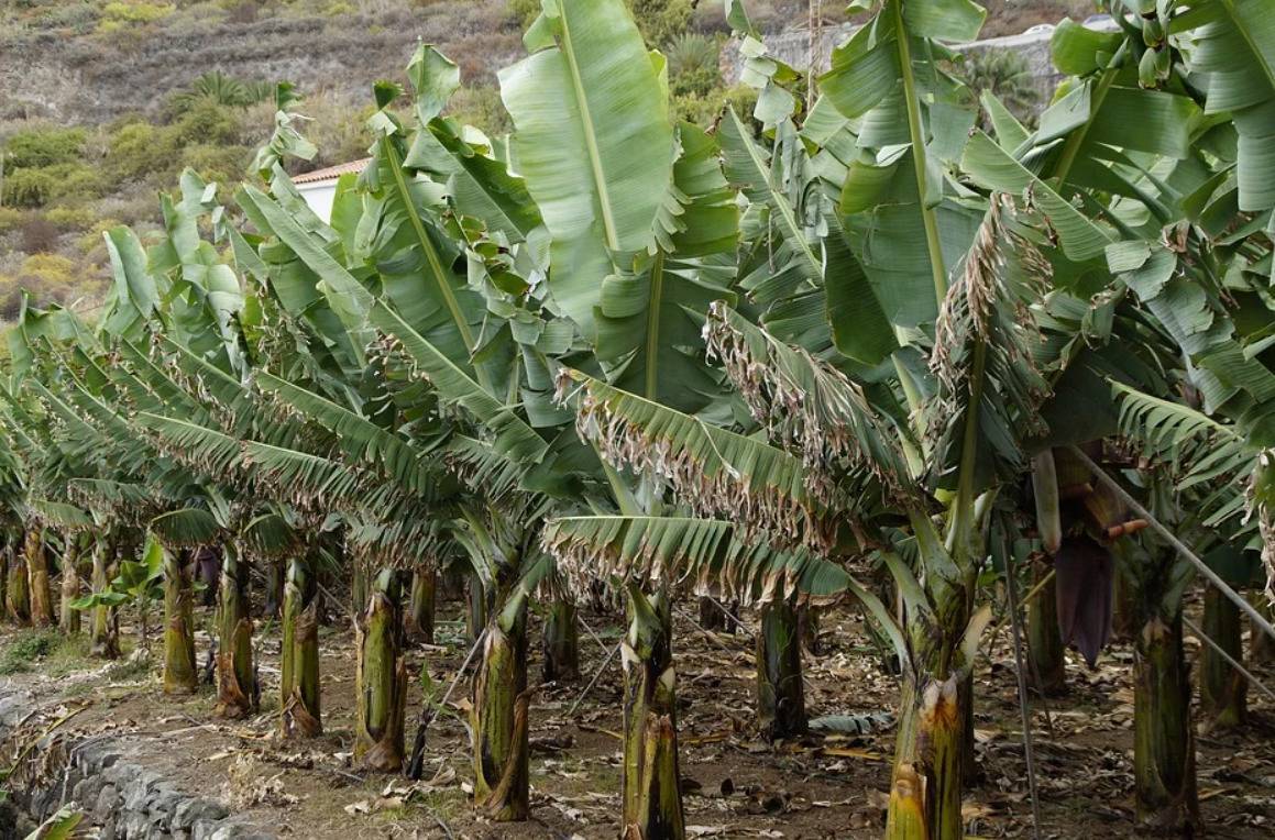
Machine-learning algorithms are trained to recognize maize, sugar cane, and bananas; parse the photos to predict which crops are shown; and then turn that data into maps of crop types, which are typically lacking for smallholder agriculture in sub-Saharan Africa.
Helmets Labeling Crops is the latest effort by NASA Harvest to make satellite data actionable for farmers on the front lines of the most devastating impacts of a warming climate. Bwambale said he was struck by how farmers could improve crop yields if they drew on such data in their decision-making.
“There are farmers who are doing things based on gut feeling or information from their parents, and they are producing on a very small scale,” he said.
But satellite data can help them understand how their small plots of land compare with surrounding areas while also seeing patterns, trends, and predictions for the future, he added.
Recent advancements in remote sensing, cloud computing, and machine learning are leading Earth observation data to play an increasingly central role in agriculture. But while the combination of ground and satellite data is revolutionizing the agricultural sector in many parts of the world, access to these insights is limited for smallholder farmers in sub-saharan Africa.
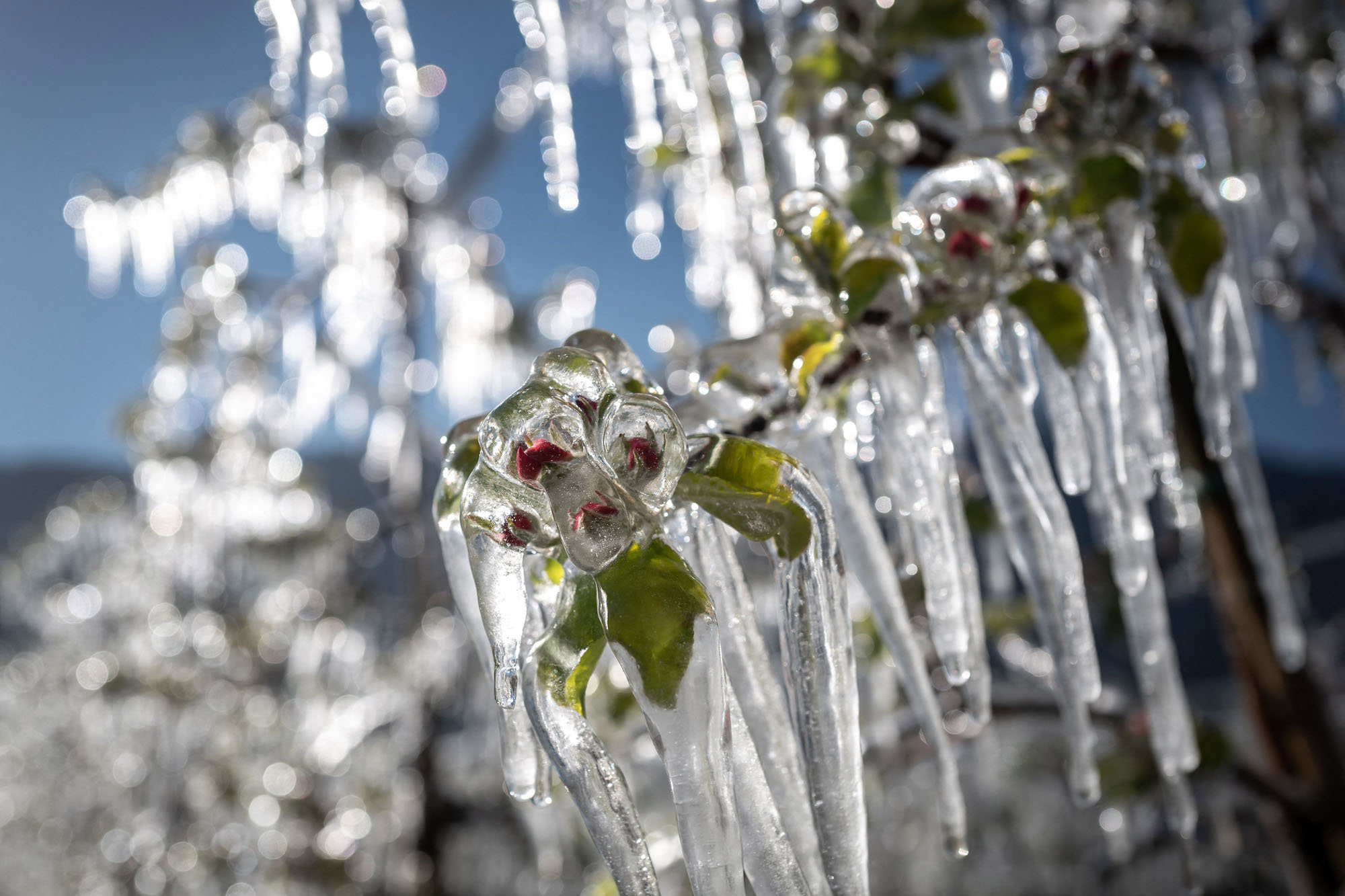
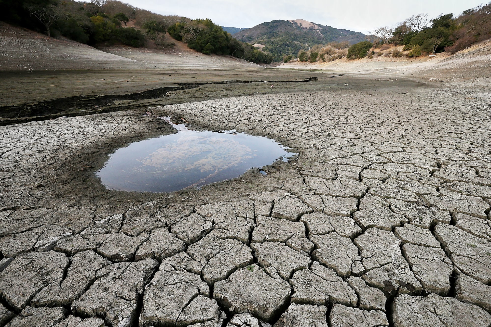
Geospatial insights have become all the more critical to tackling food security in the wake of the COVID-19 pandemic, along with the increase in extreme weather events driven by climate change.
Helmets Labeling Crops is one example of how NASA Harvest is working to develop tools in response to farmers’ needs. The ground labels can be combined with high-resolution and high-frequency satellite data to create maps of crop types in data-scarce environments where ground surveys are infrequent. When possible, NASA Harvest co-develops these tools with farmers and other local partners so they understand how the products are made, trust them, and have a sense of ownership that allows for long-term sustainability.
“It’s critical to monitor not just the large producers, but those countries that are most at risk of food insecurity, where there is often less comprehensive and timely information,” Inbal Becker-Reshef, program director at NASA Harvest, said last week during the Planet Explore conference. The event was hosted by Planet Labs, a San Francisco-based Earth imaging company that provides data from its constellation of satellites daily.
Harvest Africa, an initiative of NASA Harvest, is focused not only on advancing the methods that underpin crop monitoring, but transferring these tools to partners in Africa so that individual farmers and agriculture ministries can draw on satellite data for decision-making.
Helmets Labeling Crops, which began testing this year and intends to conduct most of its data collection in the next growing season, aims to create datasets for crop types, market prices, and pests and disease to inform planning across five African countries: Kenya, Mali, Rwanda, Tanzania, and Uganda. The work is supported by Lacuna Fund, a collaboration between The Rockefeller Foundation, Google.org, and Canada’s International Development Research Centre for developing labeled datasets in low- and middle-income countries.
The power of the project lies in its citizen science approach, involving students, farmers, and other stakeholders in the agricultural community to learn how to collect and label the data, said Catherine Nakalembe, the Africa program director for NASA Harvest.
“It’s not only for them to understand the power of this data, but for us to understand the real questions they’re asking,” she said.
Nakalembe is an associate research professor at the University of Maryland, which houses NASA Harvest. She’s also a member of the applied sciences team for SERVIR, a joint initiative of NASA and the U.S. Agency for International Development that leverages data from space to improve environmental decision-making in low- and middle-income countries.
The initiative helps decision-makers use information from Earth-observing satellites and other geospatial technologies to act on climate-sensitive issues, from land use and agriculture planning to disaster response.
But geospatial data is only as valuable as the policies in place to act on its insights, Nakalembe said.
“Continuing to publish reports about severe drought in Kenya with no program or structure to do anything about it is completely pointless,” she said.
Nakalembe said African countries need more support to strengthen their institutions — particularly agriculture ministries — which are typically under-resourced in the places where she works.
“In all the steps [of the agriculture system], data has a role to play to figure out what’s wrong and how it can be improved.” — Catherine Nakalembe, Africa program director, NASA Harvest
“If we’re going to use more complex analytics, more specialized datasets, [and] higher resolutions to address more complex problems, you need infrastructure and technical expertise,” she said. “Data is not Excel files anymore or printed sheets of paper. You need computers that actually work. You need internet. You need data scientists. And I don’t know how many governments are willing to pay data scientists what they pay ministers, but that’s what data scientists are paid.”
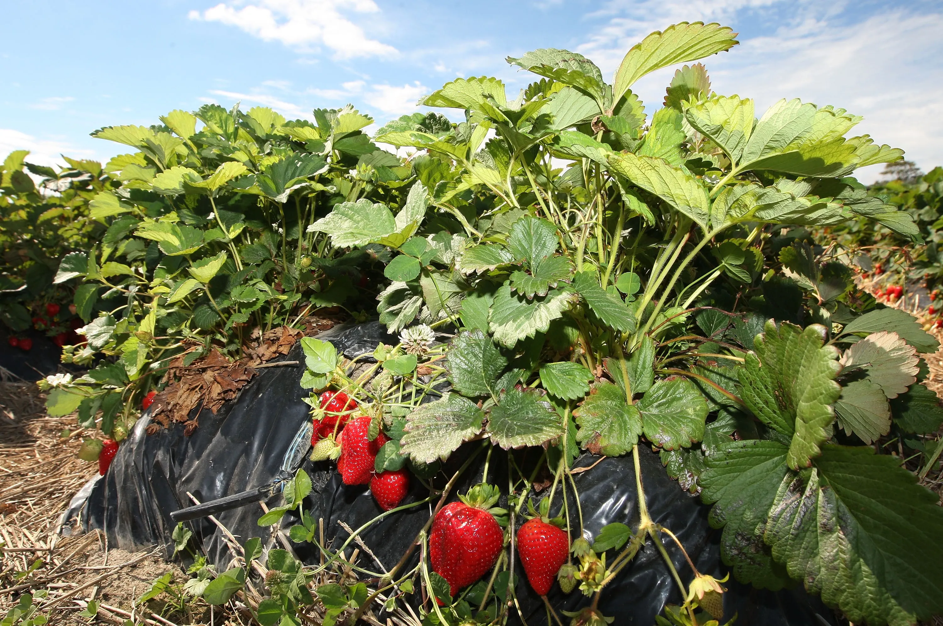
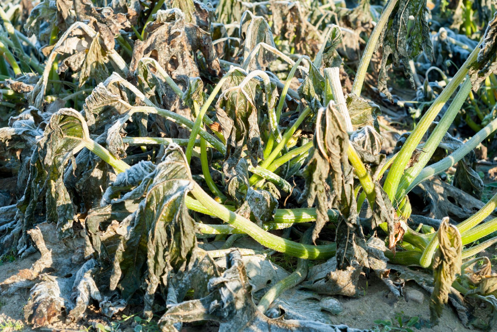
Nakalembe was born and raised in Uganda, where most crop and livestock farming depends on rain, making it highly susceptible to droughts, floods, and other weather fluctuations. The frequency of such events is increasing, leading to crop failure and loss of livestock.
Bwambale said field extension officers like him are the ones who must translate information from the Helmets Labeling Crops effort in ways that farmers understand. He started Sustainable Agri-Food Initiative Ltd., which sets up so-called farmer field schools to demonstrate new management practices.
Bwambale plans to take the same approach to relay information generated by the combination of ground and satellite data, he said.
But Nakalembe said that even when farmers realize what changes they need to make — for example, introducing seed varieties that can withstand new weather patterns — they might not be able to afford to do so. The key is to think about agriculture as a system, she added.
“In all the steps, data has a role to play to figure out what’s wrong and how it can be improved,” Nakalembe said.
But farmers, particularly smallholders in sub-Saharan Africa, need support systems in place to act on this information, she added.
Source - https://www.devex.com