Iowa Secretary of Agriculture Mike Naig commented today on the Iowa Crop Progress and Condition report released by the USDA National Agricultural Statistics Service.
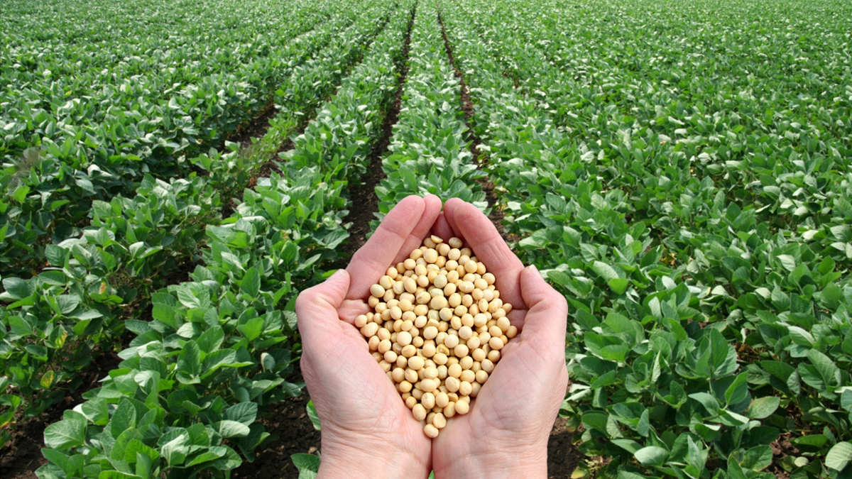
“A dry weather pattern and seasonal temperatures allowed farmers to wrap up nearly all of soybean harvest last week,” said Secretary Naig. “With a lack of rainfall in the forecast, farmers should make good progress on finishing corn as we head into Thanksgiving.”
Crop Report
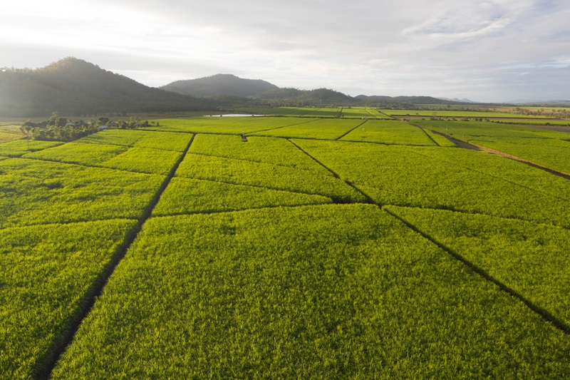
Dry weather with only spotty light showers allowed Iowa’s farmers 6.1 days suitable for fieldwork during the week ending November 21, 2021, according to the USDA, National Agricultural Statistics Service. Field activities included harvesting, baling corn stalks, applying fertilizer and anhydrous, and fall tillage. Cover crops are up and green in many areas.
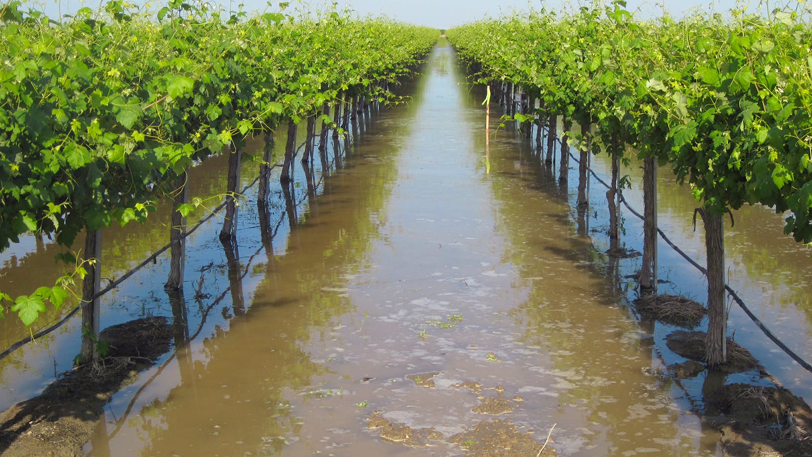
Topsoil moisture levels rated 2 percent very short, 14 percent short, 79 percent adequate and 5 percent surplus. Subsoil moisture levels rated 6 percent very short, 27 percent short, 65 percent adequate and 2 percent surplus.
Ninety-five percent of Iowa’s corn for grain has been harvested, 3 days ahead of the five-year average. Moisture content of field corn being harvested for grain was 16 percent. Harvest progress for farmers in south central Iowa continues to lag behind the rest of the State as over 10 percent of their corn for grain remains to be harvested.
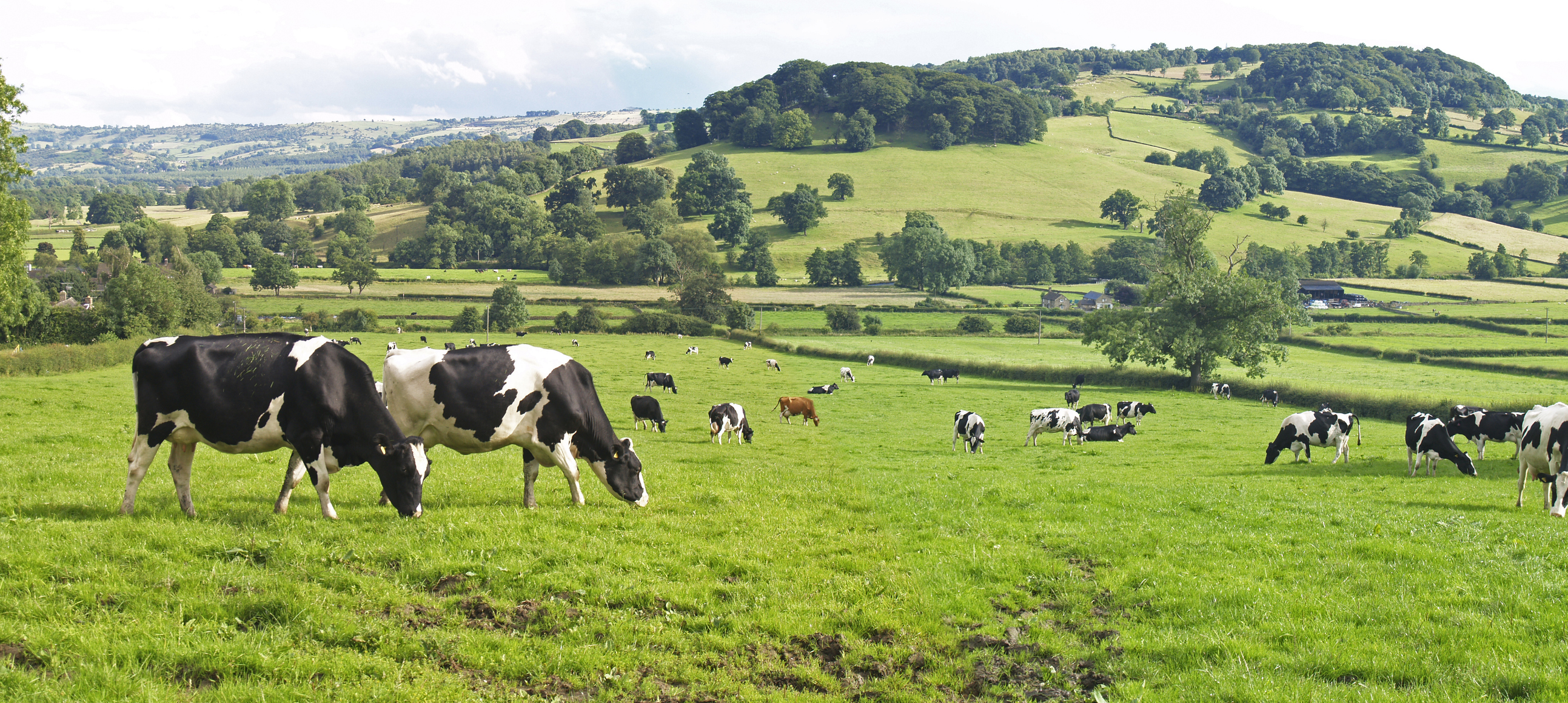
Livestock are doing well with cattle out on corn stalks.
Weather Summary
Temperatures over the reporting period varied across the state with overall warmer conditions in western Iowa and slightly cooler conditions east. The statewide average temperature was 37.4 degrees, 0.9 degree above normal. Very spotty rain and snow showers also moved through Iowa on multiple days leaving behind light totals at multiple stations; most National Weather Service co-op stations and Community Collaborative Rain, Hail and Snow (CoCoRaHS) observers reported dry conditions.
Brisk northwesterly winds died down through Sunday (14th) afternoon as clouds cleared in western Iowa. High temperatures reached into the low to mid 40s while across the state, stratus clouds held temperatures in the low to mid 30s. Isolated and very light snow moved through eastern Iowa overnight into Monday (15th) leaving behind trace amounts at multiple stations. Light rain showers were also present with Iowa City (Johnson County) reporting 0.01 inch and Maquoketa (Jackson County) measuring 0.05 inch; many stations from central Iowa east also reported trace amounts of rainfall. Morning lows hovered in the upper 20s north to upper 30s southwest with clearing skies. Winds shifted to an easterly direction as daytime temperatures reached into the 50s in western Iowa while mid to upper 30s were observed in eastern Iowa. Tuesday (16th) was an unseasonably warm day especially over the state’s western one-third where upper 60s and a handful of low 70s where observed; the statewide average high was 58 degrees, 12 degrees above normal as a gusty southerly wind and sunny skies boosted temperatures ahead of a strong low pressure system. A colder airmass filtered in as the low’s attendant cold front swept across the state through Wednesday (17th). Strong northwesterly winds and mostly sunny skies held temperatures in the low to mid 40s, 20-30 degrees colder than the previous day. Spotty showers were also observed, though only a handful of stations reported measurable amounts with Atlantic Municipal Airport (Cass County) reporting 0.06 inch.
Starry skies persisted over southern Iowa into Thursday (18th) morning as clouds pushed into northern Iowa. Morning lows ranged from the low 20s northwest to low 30s southeast. An upper-level trough trailing the surface cold front brought snowflakes to eastern Iowa with no accumulation reported as highs stayed in the low 30s east to low 40s west. Clear skies allowed for excellent viewing of the partial eclipse of the Beaver Moon into early Friday (19th) morning, marking the longest partial lunar eclipse in 580 years. Viewing was frigid in eastern Iowa where lows plummeted into the lower teens with the statewide average low at 18 degrees, eight degrees below normal. Chilly conditions persisted through the day as highs held in the upper 30s to upper 40s east to west. Partly cloudy conditions developed overnight as winds shifted to the south allowing for a warmer than average Saturday (20th) statewide. Upper 50s were experienced across southern Iowa while upper 40s were reported farther north. Widely scattered showers formed in the evening hours across northern Iowa before dissipating near sunrise on Sunday (21st). Nearly 15 stations reported measurable rainfall; 15 stations reported more than a trace though the highest totals were well under 0.10 inch.
Weekly precipitation totals ranged from no accumulation at most stations to 0.07 inch in Newton (Jasper County) and Swea City (Kossuth County). The statewide weekly average precipitation was 0.01 inch while the normal is 0.48 inch. Shenandoah Municipal Airport (Page County) reported the week’s high temperature of 72 degrees on the 16th, 21 degrees above normal. Belle Plaine (Benton County), Fayette (Fayette County) and Swea City reported the week’s low temperature of 12 degrees on the 19th, on average 11 degrees below normal. Four-inch soil temperatures ranged from the upper 30s north to low 40s south as of Sunday.
Source - https://kmch.com