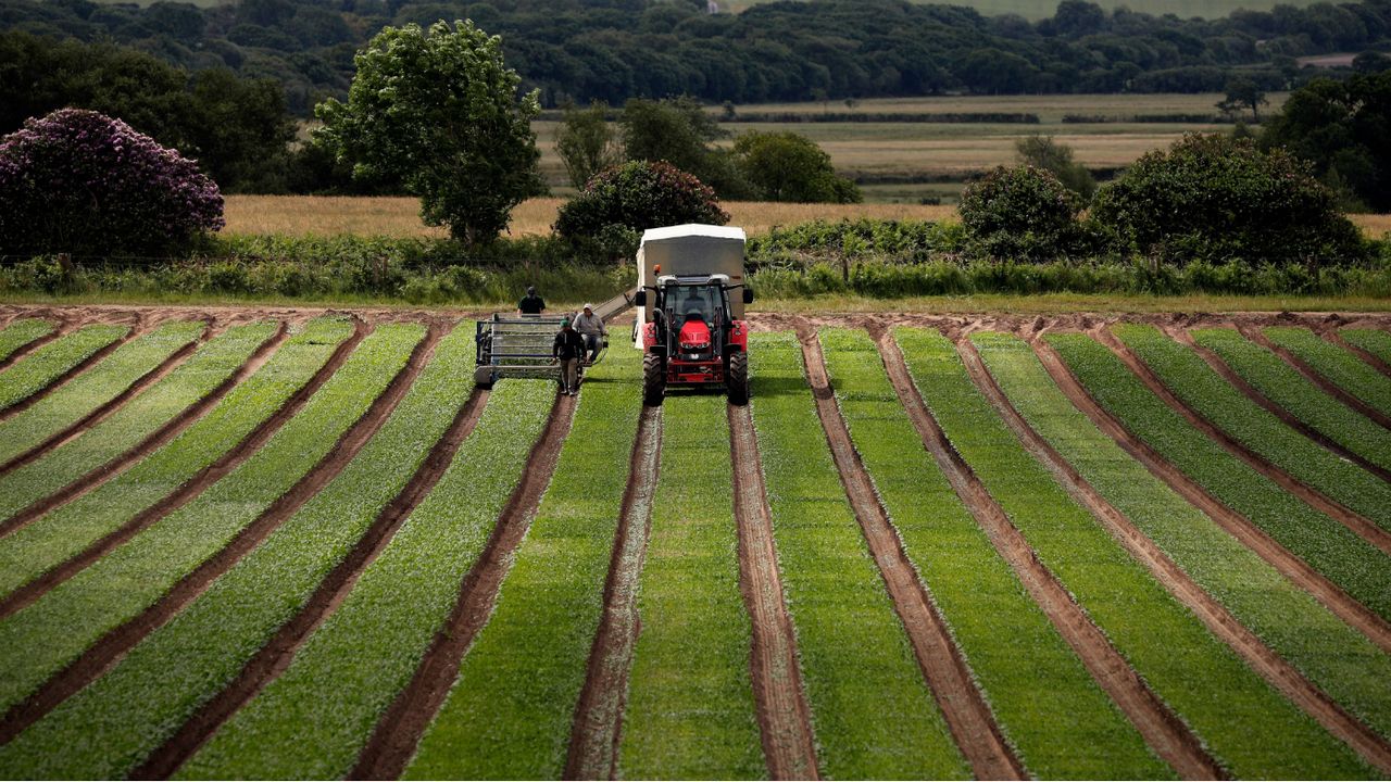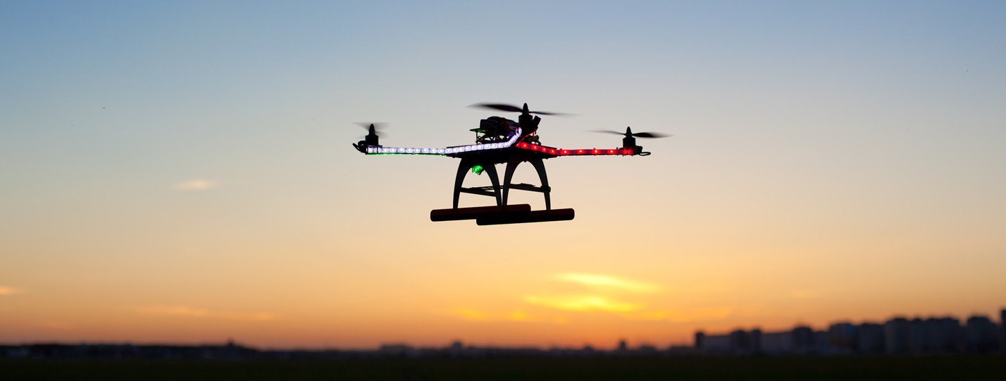
Earlier this growing season, Ruth Ploeg, who farms chipping potatoes and other crops with her husband and parents near Alliston, hired a company that uses drones to provide detailed overhead maps of crop fields.
Special sensors attached to the drones collect vital information to see where crops are doing well and struggling.
The information obtained during the flyovers is used to produce colour-coded maps of each field so farmers can see where they need to do more irrigation or adjust their fertilizer input.
For this trial run, maps were produced for about five potato fields, with the green areas showing where crops are fairing well, and red areas where plants are in trouble.
“I think it’s worth it and I would do it again,” Ploeg said. “At least we’ll know which fields are uneven.”
The biggest challenge this year for most farmers has been the drought.
Ploeg and many of the farmers she’s spoken with agree it has been one of the worst years on record.
“The last three years have been pretty easy on the irrigation, but this year we were doing it almost fulltime until the pond was empty,” Ploeg said.
“It costs us a lot of money, electricity, fuel and labour,” Ploeg said. “We actually call it irritation.”
Not enough water to go around means lower crop yields.
In areas where plants haven’t had enough water, she said crop yields were down to 100 bags per acre, when the ideal amount is 300 bags.
“It was impossible to keep up with the water,” Ploeg said. “It was just so hot and so dry, and we have limited water source.”
In a season like this one, it helps to have as many tools as possible to manage crops, according to agronomist Stephanie Kowalski, whose family used to farm potatoes in the Glencairn area.
While drones have been used by other industries like mining for many years, it’s a relatively new practice for agriculture.
“They are fairly new in terms of being field applicable,” Kowalski said. “They’ve had drones around for a while now, but making them cost effective was the hardest part.”
She noted that the drones used to fly over farmers’ fields are much more advanced then ones found at local retail outlets, costing anywhere between $15,000 to $25,000 depending on what type of sensors they have.
Once a farmer has analyzed the crop maps, they can decide how to respond to the field conditions.
Sometimes it’s not just a lack of water that is causing the problem.
“When we look at the map and see it’s red, we don't know why it’s stressed,” Kowalski said. “It could be disease, it could be pests, it could be soil, or it could be heat it’s releasing.”
While the maps offer a trove of information, she said farmers still have to take the time to walk through the fields to inspect the plants visually and take leaf samples.
Once the issue is determined, a plan can be put in place to tackle the problem.
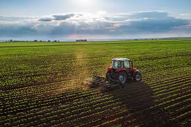
In the event fertilizer is deemed to be the issue, Kowalski said information can be loaded onto a usb stick, which is then plugged into the machine that distributes the nutrients in the fields.
“Automatically, as it drives down the field and hits the red spots, it changes the rate of fertilizer,” Kowalski said, adding the machine using GPS points to make adjustments on the fly.
The cost benefits of using inputs more effectively is just one of the advantages of using this technology.
“Being able to dial in your fertilizer rates is a big bonus for the environment,” Kowalski said. “Nutrient stewardship is a huge topic for farmers, phosphorus in the Great Lakes, things like that. So anytime we can manage these nutrients efficiently like this is a huge bonus.”
While Ploeg is impressed with the advantages drone technology has to offer, she said it’s up to farmers to make the most of them.
“It depends how you use it,” she said. “You can have as many maps as you want, but if you’re not reducing your fertilizer and using your nutrients more carefully, then the maps are just paper.”
Source - http://www.simcoe.com