
Seven-day precipitation map for the Prairie region – July 11 – 17. | Agriculture Canada
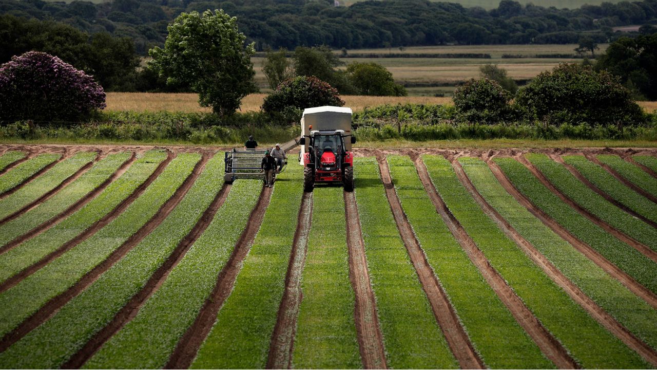
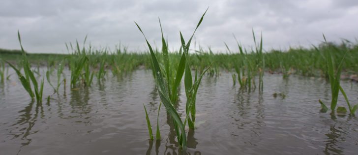
A massive amount of rain fell on the province in the second week of July. Environment Canada said 24 Saskatchewan communities received more than 50 millimetres July 11-12. Several towns in the northeast part of the province received nearly 100 mm of rain, swelling creeks and soaking cropland. Drenched fields may be responsible for most of the crop loss claims over the last decade, but drought still presents the largest financial risk for the insurer. “The total indemnity that we (pay) isn’t as significant in those wet years as it is in the big drought years,” Hulston said. “In 2002, that was our biggest loss ever in the province. It was all due to drought. In a real drought year, (losses) are more significant than excess rainfall will be.” Insurance losses from a wet year are usually lower because the entire province is rarely inundated with water. Typically, if part of Saskatchewan gets too much rain, the other regions have a sufficient amount of precipitation. “When it’s really wet here (eastern Saskatchewan), it means the west side is getting enough moisture and they’re pulling off good crops.” Source - www.producer.com