USA - WVU Parkersburg receives $150k donation to enhance agricultural education
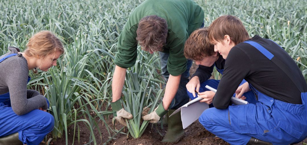
The WVU at Parkersburg Foundation is proud to announce a generous $150,000 donation from Mike and Brenda Miller to Riverhawk Farms, WVU Parkersburgs hands-on agricultural learning facility.