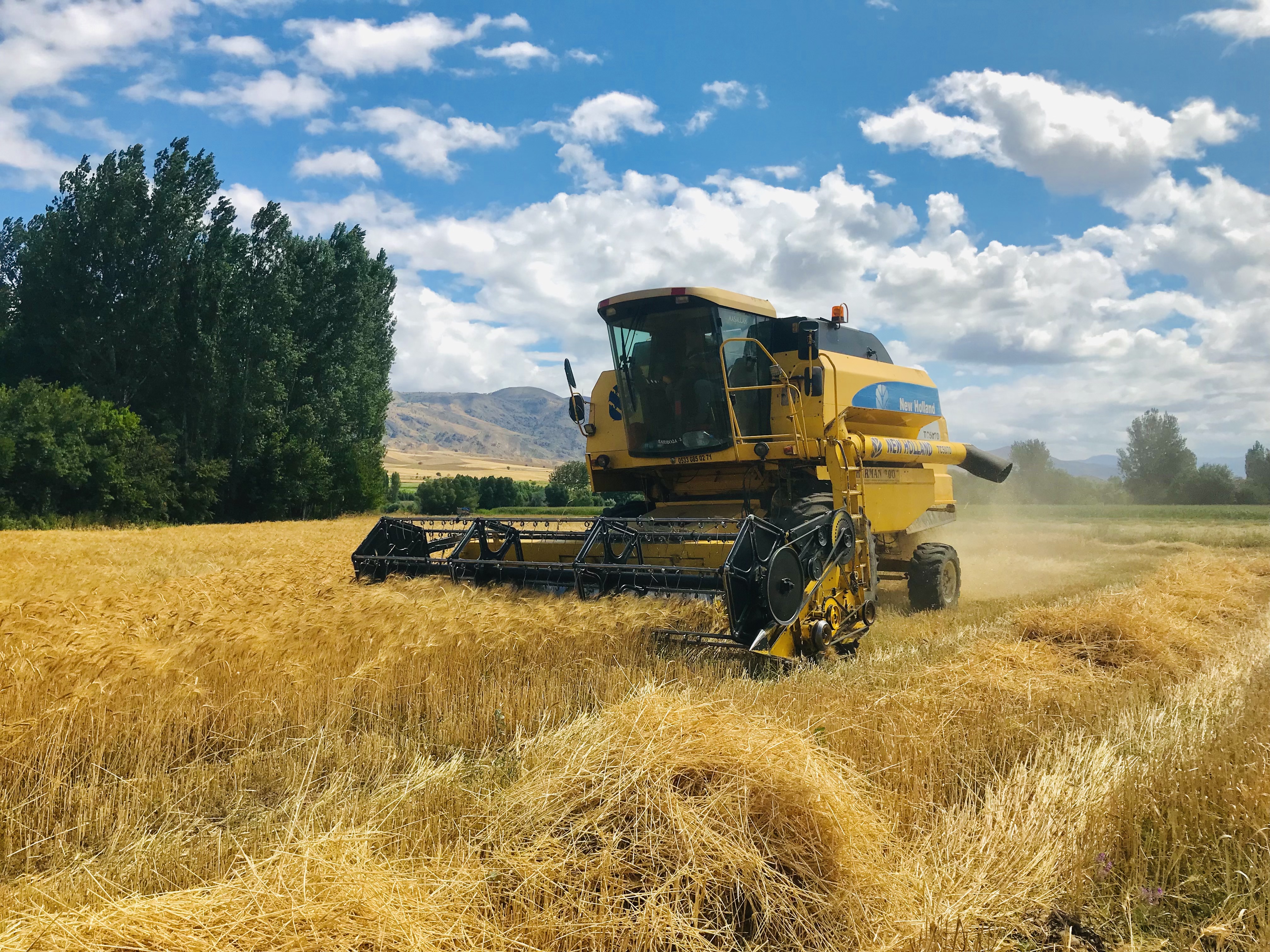
The system could play a key role in helping farmers choose crops to plant and when and where. When it comes to drought, agriculture assessments are often made based on experience and historical almanacs. But with SMAP, farmers can have near real-time assessments of their soil moisture and can better determine how severe the drought is affecting their fields.
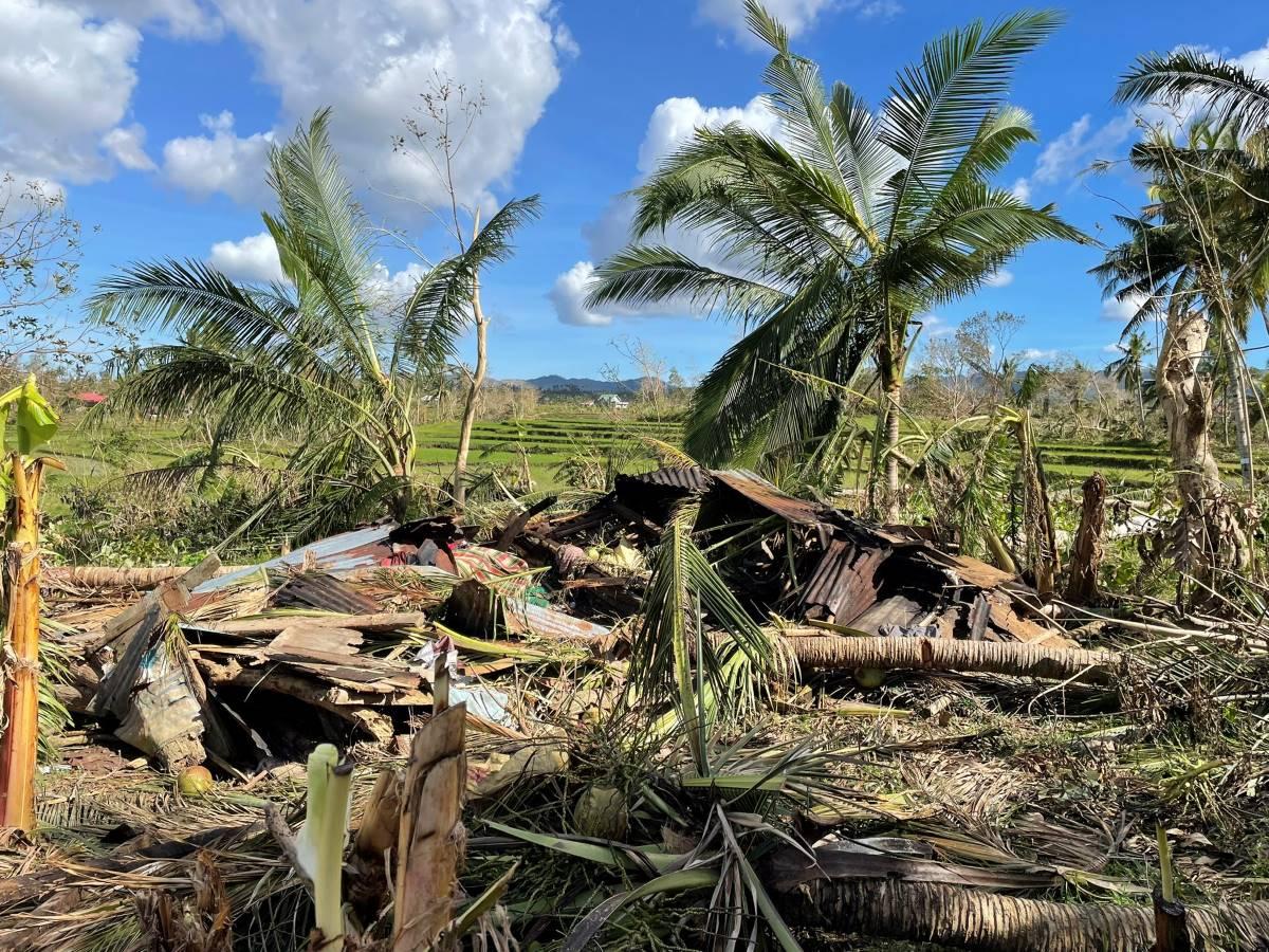
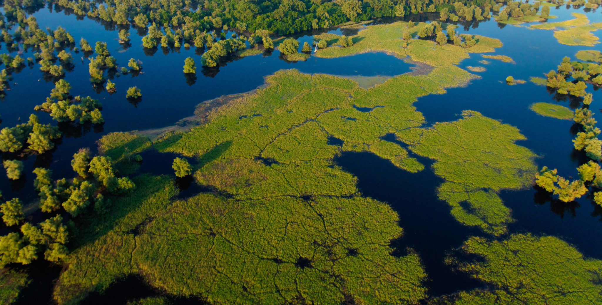
SMAP can also save lives if it can help predict where floods are more likely to occur.
“Soils are like sponges, and they can hold a certain amount of water,” Kellogg said. “If we know the amount of water in the soils, and we know that there is a big rainstorm coming, and that the soils are near saturation, then we can predict that that area might be at risk for flooding.”
SMAP’s wide-ranging antenna allow the satellite to collect data across a 621-mile swath of territory, meaning it can update moisture levels for the entire world every two to three days.
With the new detailed information, scientists can also get a better understanding of how the world’s water supplies will react to climate change.
Dara Entekhabi, SMAP science team leader, said he hopes the new data will give better answers to how global warming will affect the water cycle.
“Today's computer models disagree on how the water cycle—precipitation, clouds, evaporation, runoff, soil water availability—will increase or decrease over time and in different regions as our world warms,” Entekhabi said in a statement. “SMAP's higher-resolution soil moisture data will improve the models used to make daily weather and longer-term climate predictions.”
Source - http://www.takepart.com