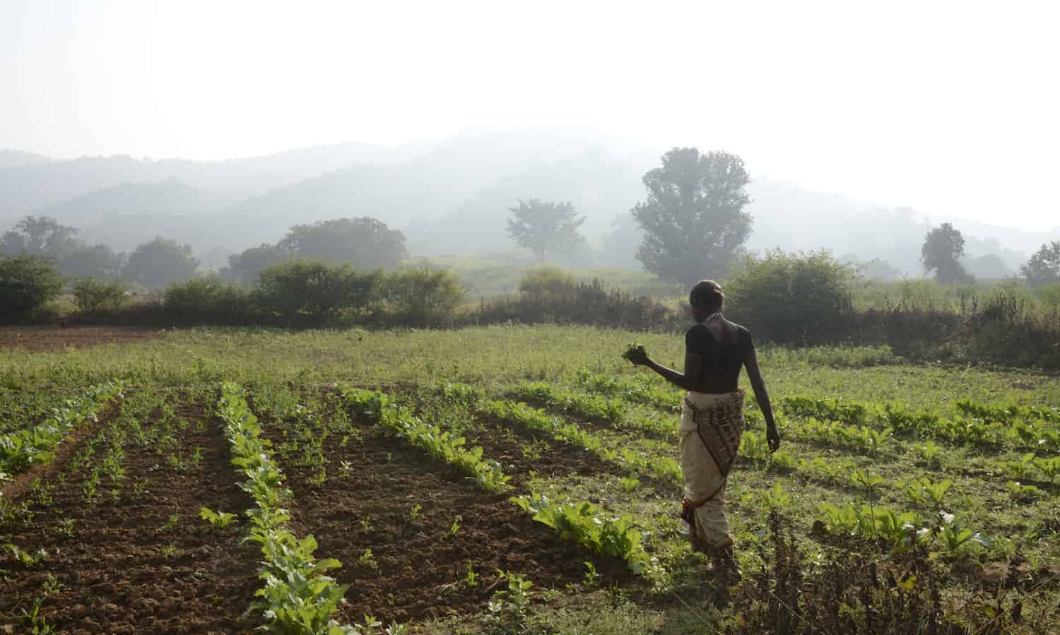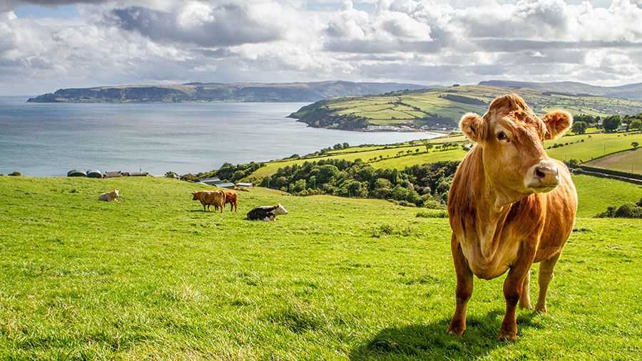
Growers of peanuts (Arachis hypogaea L.), potatoes (Solanum tuberosum) and sweet potatoes (Ipomoea batatas) face the challenge of estimating the best time to harvest and the quality and yield of their crops.
This is because these crops are subterranean, meaning the fruit develops below ground and is not visible until harvest time.
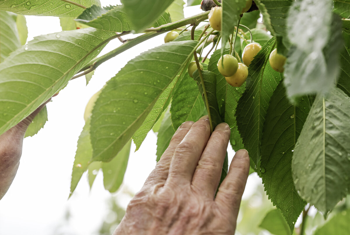
"To harvest peanuts, 70% of the pods must be ripe, and to check this, you have to pull the plants out of the ground and make a visual assessment. This operation, called uprooting, also ends up mobilizing the land and, consequently, emitting CO2 [carbon dioxide]," explained Rouverson Pereira da Silva, a professor at São Paulo State University (UNESP), Jaboticabal campus (Brazil).
Using remote sensing technologies based on images from satellites or sensors embedded in drones, combined with sensors embedded in agricultural machinery and artificial intelligence tools, the researchers have developed computer models that can help growers measure the yield and maturity of crops such as peanuts by remotely analyzing the plant's leaves. In this way, they can increase productivity and reduce CO2 emissions from intensive tillage.
Some of the results of the project were presented by Silva during a panel discussion on soil health in the context of digital agriculture, held during FAPESP Week Spain, which took place on November 27th and 28th at the Faculty of Medicine of the Complutense University of Madrid (UCM).
"The models we've developed can estimate the maturity of peanuts, for example, with more than 90% accuracy, eliminating the need for uprooting. In the case of sweet potatoes, we were even able to estimate the size of the crop," Santos told Agência FAPESP.
"Through the estimates made by these computer models, it's possible to work with more appropriate regulations to improve the efficiency of the harvesting process and, at the same time, reduce losses, because by estimating the productivity of crops, it's possible to regulate agricultural machinery to harvest more appropriately," said the researcher.
To obtain these estimates accurately, the researchers analyze images taken by cameras on drones or satellites that capture the plant's reflectance, or how much solar energy it reflects in the visible (green, yellow and blue) and invisible (infrared, near infrared and red edge) bands. Based on this characteristic, maturity indices can be calculated.
"Reflectance reveals the health of the plant. Diseased leaves have different colors and reflect the sun's energy differently. And the healthier the plant is, the more it'll produce," said Silva.
The project is at the stage of transferring the technology to producers—a long and arduous process, according to the researcher.
"This phase is time-consuming because in order to carry out a project of this magnitude, we have to go out into the field and uproot thousands of plants over the years to get the data we need. In addition, there are different varieties of peanut, for example. That's why we haven't transferred the technology yet, because growers change the varieties they plant over the years, and we need to have a robust model that can make predictions under different conditions," he explained.
Saving water
A group of researchers from the School of Agricultural Engineering at the State University of Campinas (FEAGRI-UNICAMP), also in Brazil, has used a miniaturized radar system embedded in drones to create soil moisture maps of plantations such as sugarcane.
The scientists have also developed a technology that, based on the interaction of the frequency waves emitted by this radar system in three different bands, which not only touch the soil but penetrate it, makes it possible to estimate the amount of water available in different parts of a crop.
The project resulted in the creation of a startup, Radaz, supported by the Innovative Research in Small Businesses Program (PIPE).
"The accuracy of the system in estimating the relative humidity of a monitored soil plot is greater than 90%," Barbara Janet Teruel Medeiros, professor at FEAGRI and member of the project, told Agência FAPESP.
The development of the system involved field trials, validation with traditional methods, and tests on sugarcane plantations in the state of São Paulo.
"We were able to predict the productivity of this crop well in advance, in terms of the amount of biomass that would be produced when it reached maturity, as well as the best date for harvesting," said Medeiros.
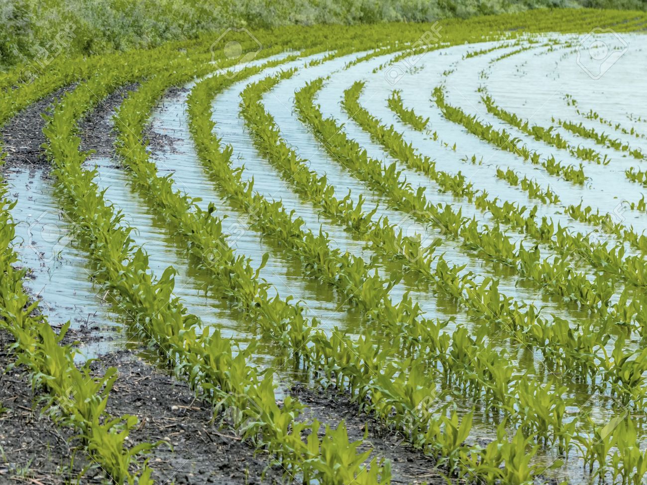
According to the researcher, soil moisture levels are not homogeneous, nor are porosity and water runoff. In this sense, by estimating the soil moisture of a plantation, it is possible to implement variable-rate irrigation systems, resulting in greater water savings.
"In this way, it'd no longer be necessary to open the irrigation system to release an unnecessary amount of water. It'd be possible to adjust it to release the optimum amount for a given patch of soil, avoiding saturating certain areas or leaving shortages in others where levels are below what's needed for the crop to grow," she explained.
The objectives are similar to those of two projects recently launched in Europe with the participation of researchers from the Institute of Agricultural Sciences of the Spanish National Research Council (ICA-CSIC).
The first, called the DATI project, which involves researchers from Spain as well as Italy, Morocco, Portugal and France, aims to stimulate the development of new technological solutions in the field of digital agriculture, using drones, satellite imagery, and agro-meteorological stations to reduce water consumption by between 15% and 20% compared to traditional irrigation systems.
The Earth Observation for Water Use Efficiency project, led by the CSIC, aims to provide Earth observation-based tools for the assessment and management of water use efficiency and productivity of pastures and cereal crops in the Mediterranean region.
"We need to provide precision farming solutions because we know that soil is not homogeneous and plants do not develop in the same way across the entire surface. That's why we can't manage an entire area in the same way. The idea is to divide it into zones so that we can really do site-specific treatment or management," said Irene Borra, a researcher at the ICA.
The Spanish researchers are conducting a study in which they aim to increase the accuracy of detecting water stress (lack of water) in grapevines by analyzing images taken by unmanned aerial vehicles and metrics based on evapotranspiration (loss of water from the soil by evaporation and from the plant by respiration).
"We're drawing up maps that show us areas where everything is really good in terms of water and others that we need to take care of because they show water stress," said Borra.
Source - https://phys.org