When to harvest is one of the most crucial decisions a winemaker can make. Too early, and the result is bitter. Too late, and it’s overly sweet. It’s a delicate balance—one that’s increasingly being upended by the climate crisis.
In France, global warming has been wreaking havoc on this ancient equation for some time. Wine-growing regions across the country have seen seasons truncated—the harvest date in the Châteauneuf-de-Pape appellation, one of the most prized, has moved up almost three weeks since 1960. Simultaneously, plant diseases are appearing in regions that have never seen them before, rain patterns are changing and the heat that helped speed the harvest in some places is now drying out vines in others.
To acclimate, the old ways are increasingly being replaced by the new. In this case, granular data aimed at tracking the progress and health of vines in a fast-warming environment. Satellite technology, according to startups such as Ticinum Aerospace and TerraNIS, is being used by vintners to harvest the right grapes at the right moment.
“Sometimes producers don’t collect data on grapes, or they do but it’s not stored in an easy way, or they don’t know which plots they collected samples from,” said Daniele De Vecchi, project manager at Ticinum Aerospace for Saturnalia, a data platform for evaluating vintner crops. “Now the wine industry can make decisions based on data. It’s not so romantic, but I think it’s the only way to move forward.”
Marc Tondriaux added that more French growers are joining in. He’s president and founder of TerraNIS, a company that provides agricultural data based on satellite and drone imagery. “Just ten years ago, the key customers for these applications were mostly in Bordeaux,” Tondriaux said. “Now we’re seeing it more in southern regions.”
But while this technology is already being brought to bear for winemaking, soon it may serve a more critical role in helping adapt agriculture in general.
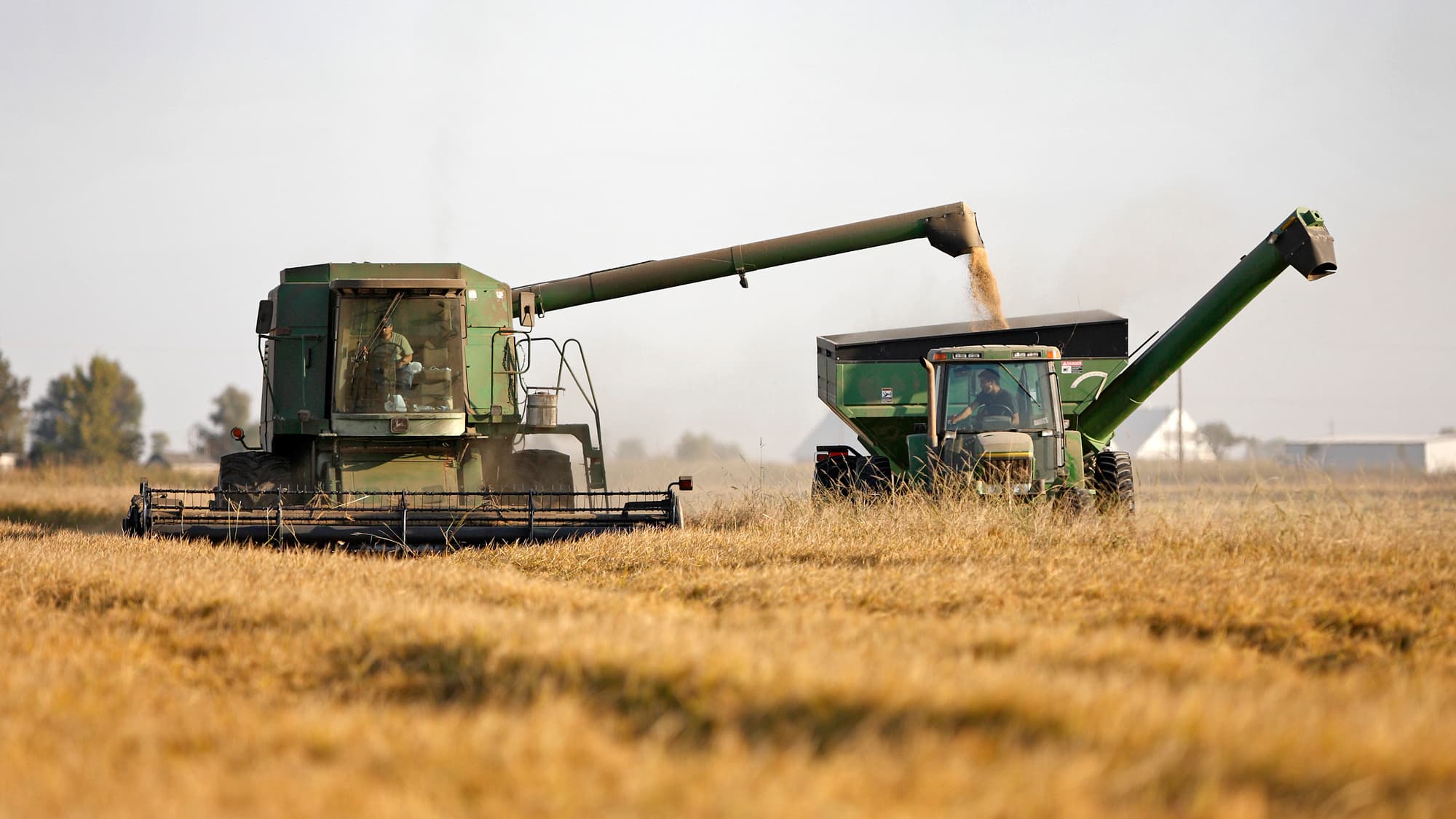
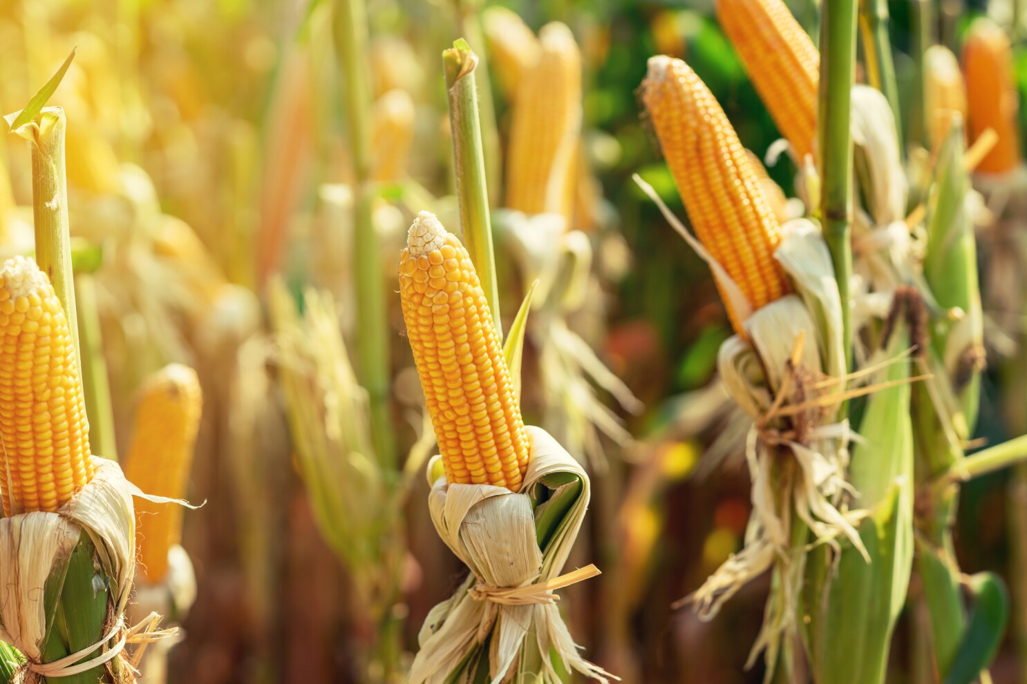
Satellite technology has long been used to help governments and futures
markets make scale-level assessments, like the size of a coming harvest of corn
in the US or wheat in Ukraine. But newer tech has the capacity to help
individual farmers mesure and expand their own yield potential.
Satellites from NASA, the European Space Agency and private companies such as San Francisco-based Planet provide ground images from a range of bands on the electromagnetic spectrum.
When sunlight hits the planet's surface, certain wavelengths are reflected back based on the material the light hits and its physical condition.
Chlorophyl1, which plants use to make their food, absorbs much visible light
while a leaf's cell structure reflects near-infrared wavelengths (NIR).
Sensors and cameras mesure the intensity of the waves reflected back from
Earth. High levels of reflected NIR light coupled with low reflectivity in the
visible range indicate dense vegetation, such as forest or healthy crops. Little
difference in reflectivity of the two spectral bands would point to sparse
vegetation, such as desert or bare soil.
The nuances of these relationships have proven to be reliable indicators of
levels of nitrogen, a key plant nutrient, as well as plant biomass, leaf area and
chlorophyll content-all connected to soil water content. The Normalised
Difference Vegetation Index (NDVI), one of the satellite-based measurements
most commonly used in agriculture, is their measure. Scientists at TerrANIS and Ecole d'Ingénieurs de PURPAN a research institute in Toulouse. France supported the data's accuracy, showing a strong correlation between levels of nitrogen taken from leaf samples and the analyses derived from satellite imagery.
With each pixel of an image representing an area as small as half a square meter, this satellite data can be overlaid on a map of a field, allowing fertiliser to be applied only where it's needed. A low NDVI as a crop approaches harvest time, for example, would indicate a need for nitrogen fertiliser. "We've been treating crop fields like all of that ground is exactly the same, when we know for sure this is not the case," said Misty Tucker, industry principal for agriculture at Planet. "Satellite data helps us to micromanage our fields at a much more granular level."
If such technology became widely available, the resources saved, emissions avoided and crops preserved in the face of a shifting climate landscape could have a significant impact on both the fight to slow global warming and protect the food supply.
Policymakers are beginning to see the light. The European Union is changing its Common Agricultural Policy with satellite monitoring in mind to reduce GHG emissions, fertiliser use and oceanic dead zones. In the US, the Precision Agriculture Satellite Connectivity Act forces the Federal Communications Commission to consider whether changes to satellite communications rules could help precision agriculture, and develop recommendations for Congress if so. It passed the House in April.
NASA's suite of earth-observing instruments already help "provide both global and local predictions of water availability, crop health and rates of production," said Karen St. Germain, NASA's director of earth science. Its planned SBG instrument may advance the ball further. The ESA's Sentinel satellites meanwhile have a combination of spatial and temporal resolution, along with a broad bandwidth that's proven particularly useful to providers of satellite data to the agriculture industry.
"The crop is always changing," said Sara Antonelli, research and development manager at Agricolus, an Italian satellite-data company that said it can work with 140 crops from grapes to grains. "So you have to be quick in detecting problems. Sentinel's different bands to detect both soil moisture and vegetation health is very rare."
The TerraNIS-E.I.P. study found Sentinel's freely available data to be more accurate in assessing nitrogen status than even higher-resolution data from satellites that charge for access. And new instruments may bring even greater insights.
Satellites can't do everything, of course. Findings often need to be confirmed on the ground, and over-reliance on orbital data can lead to sloppiness, warns José Manuel Amigo, an expert in hyper-spectral imaging and chemical analytics at the Basque Foundation for Science in Bilbao, Spain.
"Remote sensing is a wonderful discipline that helps farmers in many situations," he said. Still, assumptions too often are baked in and limitations dismissed. "Treating the data is not easy, and correlating parameters with actual issues" can be a leap too far. "Researchers forget that the answers they give to farmers must be followed by intensive validation and a sound chemical explanation.
Still, Kaitlin Gold, a professor of plant pathology at Cornell University in Geneva, New York, said she's excited about the potential to detect crop disease early enough to do something about it. "A changing climate will expand the suitable range for invasive pathogens," she said, while heat and drought-stress on a plant "will leave it far more vulnerable to opportunistic diseases."
Satellites will allow "high-quality assessments of risk that allow for successful early intervention," Gold said.
Source - https://economictimes.indiatimes.com