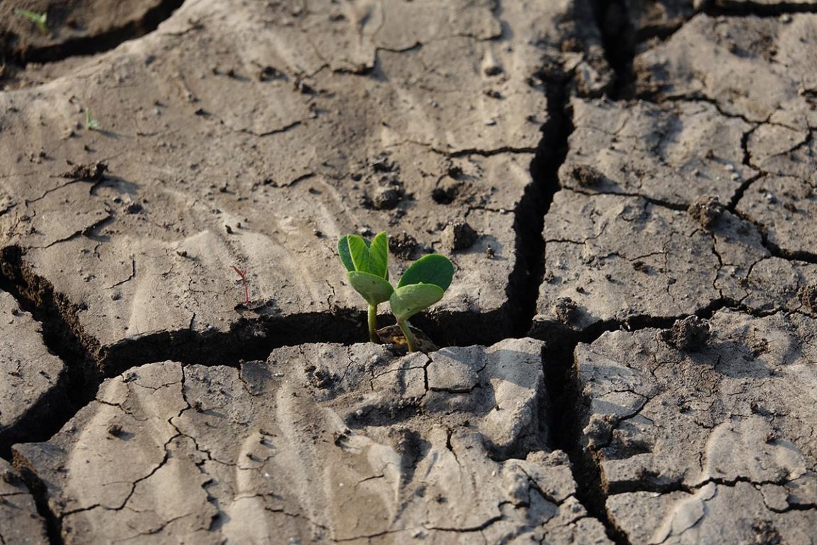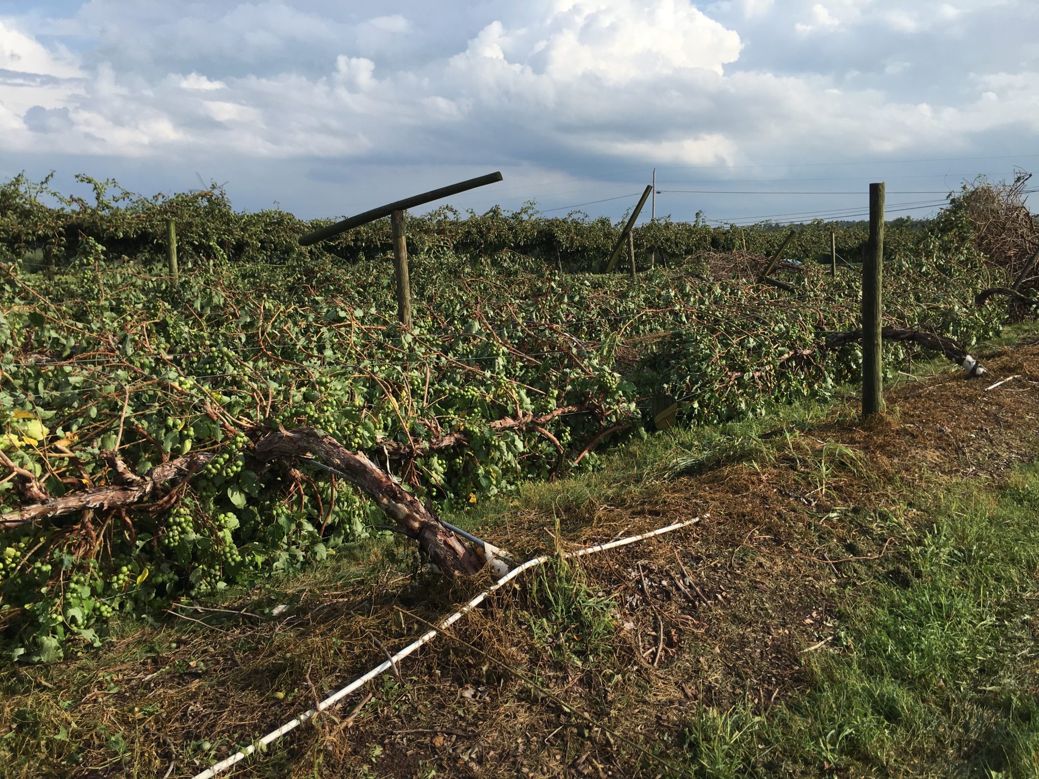
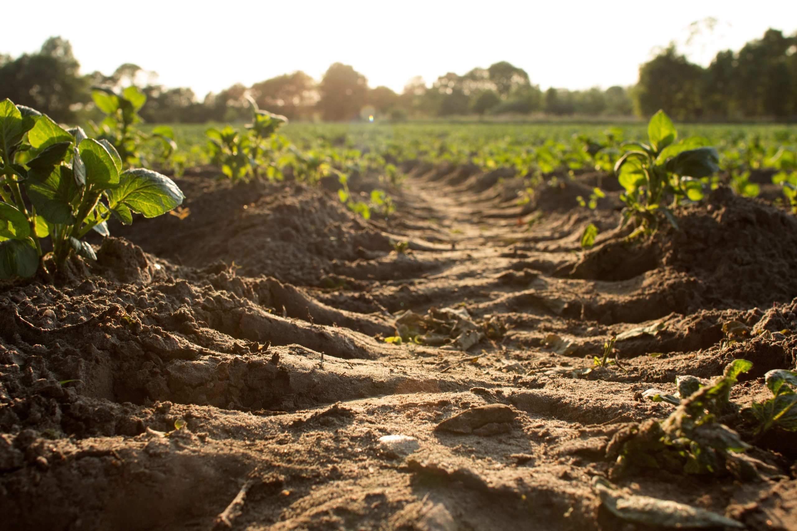
A new study has revealed a worrying trend for India’s soil health. Nearly 30 per cent of the country’s landmass is experiencing “minor” soil erosion, while a critical 3 per cent faces “catastrophic” topsoil loss, according to the research.
The study, Geospatial modeling and mapping of soil erosion in India, for the first time, classified soil erosion on a pan-India basis.
Topsoil — the uppermost layer of soil — is vital for agriculture as it holds nutrients and moisture essential for plant growth. Erosion significantly reduces fertility and can lead to decreased crop yields.
According to Manabendra Saharia, assistant professor of civil engineering and principal investigator of HydroSense Lab at Indian Institute of Technology, Delhi, and one of the authors of the study, the researchers wanted to classify various levels of soil erosion. Ravi Raj was the lead author student of the research.
“India did not have a classification for various levels of soil erosion so, in a way, this is a first. We wanted to have a holistic view of soil erosion in the country,” Saharia said.
And the observations look damning — the biggest hotspot for soil erosion in the country is the Brahmaputra Valley in Assam.
Data shows the northeastern state Assam lost close to 300 square kilometres or 31 per cent of its surface soil to “catastrophic” erosion.

So, what does it mean for the northeastern state as well as for India as a whole when it comes to soil erosion of that magnitude? According to the Food and Agriculture Organization of the United Nations, it could take up to 1,000 years to produce 2 to 3 centimetres of top or surface soil, which has a depth of 6 cm.
The study came up with six classifications for soil erosion — ranging from “minor” to “catastrophic” — in terms of soil eroded in tonnes over a hectare over a year.
So, a region would be classified as “catastrophic” if it reports over 100 tonnes of soil lost to erosion over a hectare during a year’s time.
“The cutoffs were decided by us (the researchers) and the numbers — percentage of landmass eroded — can vary if someone comes up with a different classification”, Saharia cautioned
But at least now we (India) have a soil erosion classification, Manabendra said.
Apart from the Brahmaputra Valley, the lower reaches of the Himalayas are characterised by moraine or loose soil and highly unstable slopes. The region spans from the Kashmir Valley to the southern regions of Himachal Pradesh and Uttarakhand and extends across the border into Nepal and parts of Odisha.
This region stands as one of the most prominent erosion hotspots in the country, exacerbated by its susceptibility to seismic activity or earthquakes.
Odisha, which differs markedly from the Himalayas and the Brahmaputra valley in terms of topography and biodiversity, is also another hotspot for “catastrophic” erosion.
This erosion extends from the southern reaches of the Mahanadi river, traversing along the western borders of the state’s lush green cover and natural forests, all the way to the northern parts of Andhra Pradesh. This underscores the significant soil degradation experienced by the forest cover in the region.
District-wise, the study highlighted that nine out of the 20 most susceptible districts to soil erosion in the country are located in Assam. Further, the national mean for soil in the country stood at 21 tonnes per hectare per year.
According to the study, this loss can be directly attributed to anthropogenic interventions like deforestation and rigorous farming practices over the years.
While there have been region-specific studies related to soil erosion, Saharia and his team wanted to have a holistic view of soil conservation for future planning of soil conservation.
“So we employed the RUSLE equation to estimate potential soil loss at a pan-India level”, Saharia highlighted.
The RUSLE equation — known as Revised Universal Soil Loss Equation — takes into account various factors like predicted crop loss, rainfall and runoffs, also known as the R-factor, soil erodibility, steepness and length of a slope of a mountain, crop management and support practices like strip cropping, etc., to estimate soil loss at 250 metre spatial resolution.
“Through our study, we are also trying to make our data available for anyone to use in the future,” Saharia added.
Source - https://www.downtoearth.org.in