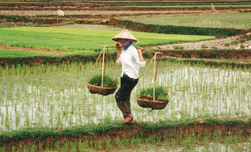
Satellite imagery is a technological innovation that has the potential to revolutionize the way we forecast future crop progress and production. By utilizing images captured by satellites orbiting the Earth, we can gather valuable data that can help agricultural experts make informed predictions about crop growth and yield.
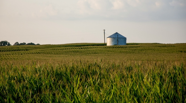
One of the key advantages of satellite imagery is its ability to provide a wide-ranging view of agricultural landscapes. Satellites can capture images of large areas of land, allowing us to monitor crop health, vegetation growth, and soil conditions on a large scale. This broad perspective gives us a comprehensive understanding of how crops are developing across different regions, enabling us to identify potential problem areas and take proactive measures to address them.
Satellite imagery also enables us to track trends and patterns over time. By capturing images at regular intervals, we can monitor the progress of crops throughout the growing season. This longitudinal data can help us identify factors that influence crop growth, such as temperature, precipitation, and sunlight. By analyzing historical data alongside current satellite images, we can develop models that can accurately predict future crop progress and production.
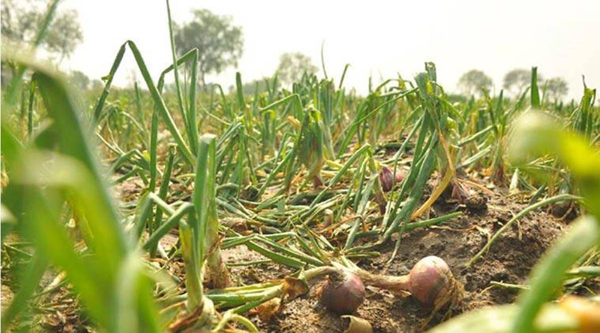
The use of satellite imagery in agriculture is not limited to monitoring crop growth. It can also be valuable in assessing crop damage and estimating yield. For example, satellite images can help detect early signs of pest infestations or disease outbreaks, allowing farmers to take timely action to mitigate the impact on their crops. By analyzing the extent of the damage captured in satellite images, experts can estimate the potential yield loss and take necessary measures to minimize the economic impact.
In addition to its predictive capabilities, satellite imagery can also aid in decision making regarding land use and resource allocation. By analyzing satellite images, agricultural planners can identify areas of land that are suitable for cultivation and determine the optimal allocation of resources such as water and fertilizers. This can help maximize productivity and minimize waste, ultimately leading to more sustainable and efficient agriculture practices.
Furthermore, satellite imagery can be particularly helpful in regions with limited access to ground-based monitoring systems. In remote or inaccessible areas, satellites can provide critical information about crop conditions that would otherwise be unavailable. This can help governments and organizations make informed policy decisions and allocate resources effectively to support agricultural development in these areas.
While satellite imagery holds immense potential for forecasting crop progress and production, it is crucial to consider its limitations. Factors such as cloud cover, resolution of satellite images, and the ability to accurately interpret and analyze the data can impact the reliability and accuracy of the predictions. Therefore, it is important to combine satellite data with ground-based observations and other sources of information to obtain a more comprehensive picture of the agricultural landscape.
In conclusion, satellite imagery is a powerful tool that can transform our ability to forecast future crop progress and production. By providing a broad view of agricultural landscapes, tracking trends over time, and aiding in decision making, satellite imagery can help agricultural experts make informed predictions and take proactive measures to ensure food security and promote sustainable agriculture practices. As technology continues to advance, the potential of satellite imagery in agriculture is only expected to grow, opening up exciting opportunities for innovation and progress in the field.
Source - https://fagenwasanni.com