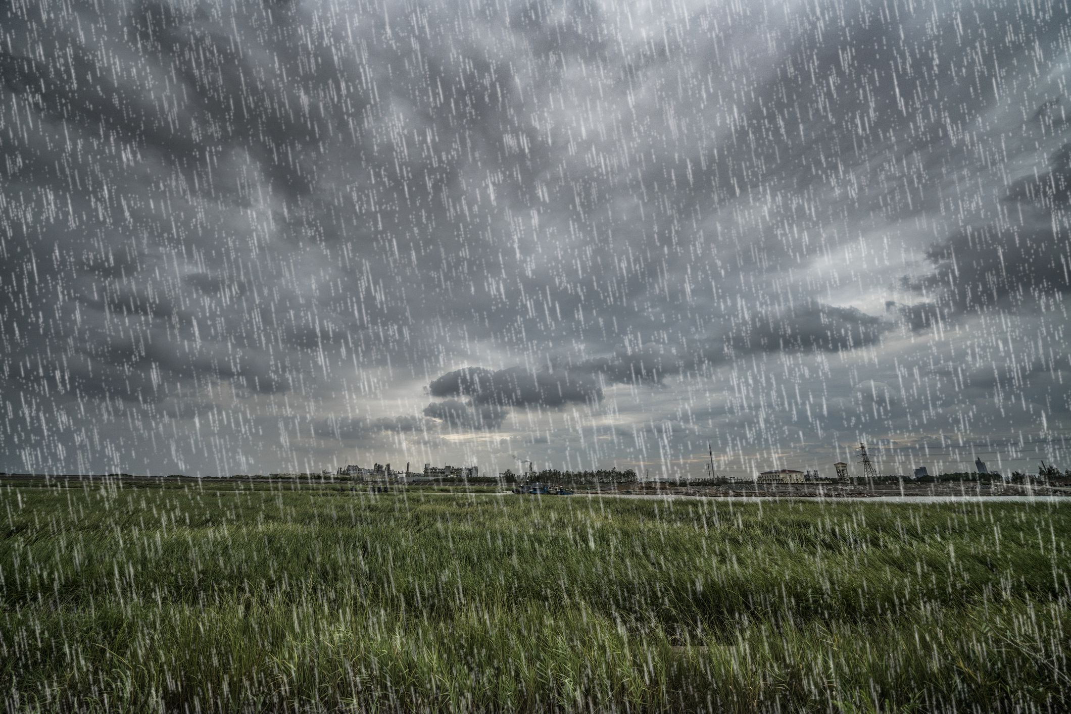
A rather modest line of showers and storms was accompanying a front across northern Indiana and northwest Ohio on Thursday afternoon. To those in northern Adams County, it seemed like a gentle rain with rumbling thunder was moving into the county with much needed rain.
However, just a few miles to the west and south, the line exploded into a vicious hailstorm that caused the worst crop damage in years from western Adams County into Mercer County. To our northeast, a tornado outbreak from the same disturbance sent seven tornadoes causing significant damage from southwest of Toledo towards Sandusky.
“An unexpected late afternoon storm late on Thursday afternoon struck many of those living in the region from the west end of Berne to Linn Grove and along the Wabash River into Bluffton. Many described the hail so heavy that the countryside was likened unto a March snowstorm,” said weather specialist Rick McCoy.
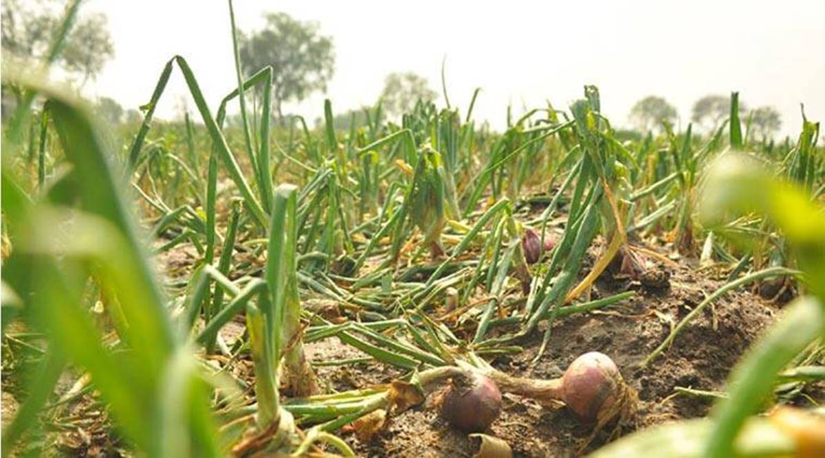
McCoy said many of the cornfields experienced severe shredding and some soybean fields also experienced serious damage. In wheat fields that were starting to head out in preparation for harvest in several days, the hail poured on the wheat heads, knocking the grain out of the wheat in fields that suffered from the most severe parts of the storm. In some areas, the hail was also accompanied by strong gusty winds.
“It all varies. It’s hard to tell what the final damage or lack of it is going to be, especially in the corn,” said Jeff Lehman of Lehman Feed Mill. “We’ve heard that some of the corn a couple of feet tall was really shredded.
“It all depends where the growing point for the corn is right now,” continued Lehman. “If the growing point comes up, we will see what happens.”
Lehman said corn has a decent tendency to recover under the right circumstances, especially with a lot of sun and warmth predicted for this week. He noted, however, that it takes several days to see what the results are going to be.
Lehman, like most area farmers, noted that the storm appeared on the east side of Berne like a modest thundershower. But when he looked at the radar, he was stunned.
“I had no idea anything like this was coming,” said Lehman. “It was one of the ugliest radars I have ever seen. The thing that caught my attention was the black internal part of the configuration. I have never seen anything like that on radar. I said to my wife, ‘that can’t be good.’”
Lehman said the most severe part of the storm appeared on radar from Bluffton to Vera Cruz to the west end of Berne, then southeast into Jefferson Township and on into northwest Mercer County. Most of Van Wert County also received a much-needed one inch to 1.4 inches of rain.
Prior to the recent rain, said McCoy, the tri-county area had been in the midst of the driest early spell in years.
“All is supposed to settle back to tranquil weather, with highs in the mid to high 80’s and no rain for this week as we begin to approach July,” said McCoy.
Source - https://www.timesbulletin.com