Australia - Droughts, flood, feed: farmer satellites see all but what about climate change?
From checking water levels in far-flung dams to making sure the sheep aren’t wrecking the paddock, Australian farmers sometimes find themselves needing to be everywhere at once – and, thanks to the latest satellite analysis capabilities, soon they could be.
In May, the Turnbull government allocated $15.3m over two years to deliver Digital Earth Australia, a free open-access set of products (a beta model is currently accessible) that account for complex variations in the atmosphere, sun position and view angle to deliver precise, continually updated imagery into the hands of the public.
Developed by Geoscience Australia in coordination with the CSIRO and the National Computational Infrastructure, the project will for the first time provide open access to three decades of historical satellite data captured every two weeks at 25-metre squared resolution, with future images to provide detail down to every 10 square metres of Australia updated every five days.
The project will offer datasets including the normalised difference vegetation index and fractional cover to help paint a picture of changes to vegetation, an intertidal extents model that provides a picture of changes to tidal patterns and coastlines, and water observations from space that monitor rivers, lakes, dams and flooding.
Geoscience Australia’s environmental geoscience division chief, Dr Stuart Minchin, says that, along with the mining sector and environmental studies, agriculture would particularly benefit from world-leading landscape monitoring capabilities, citing the popularity of the technology in an Australia-wide trial.
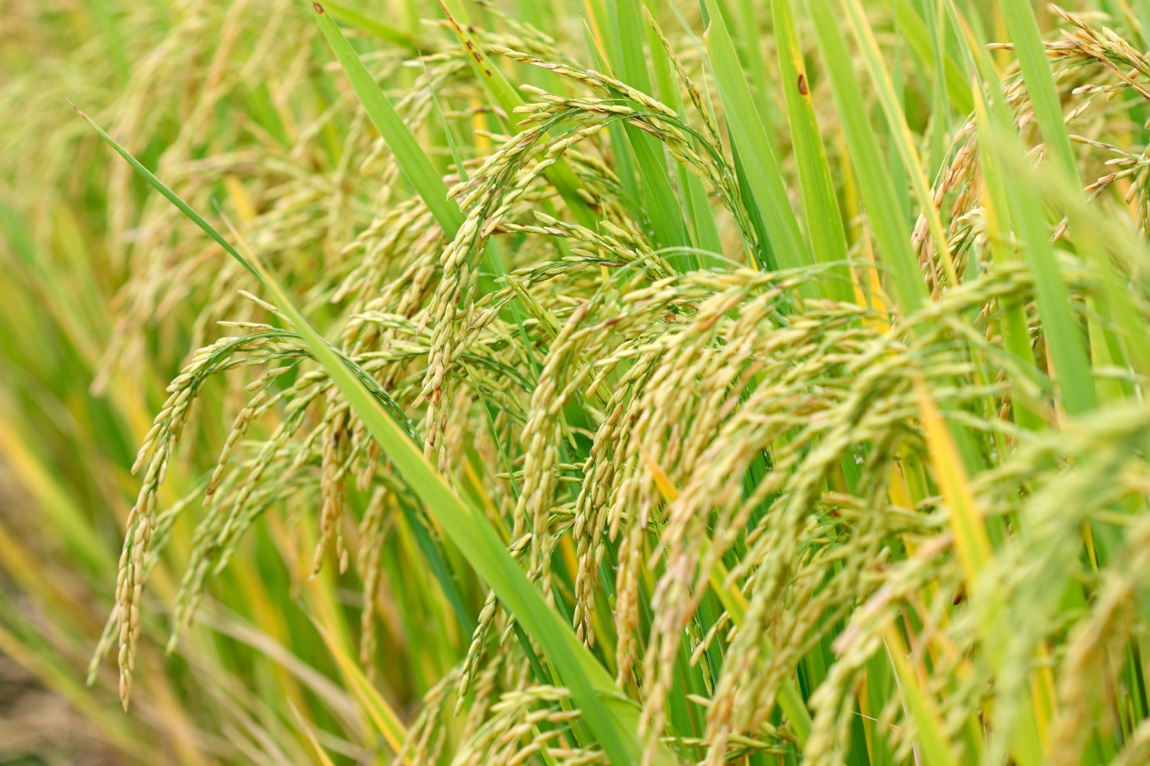
By the conclusion of the NRM Spatial Hub study last year, farmers on 300 properties covering an area of more than 50 million hectares were using satellite data to analyse the vegetation condition of their properties to see where feed was available and not being used, and move water points accordingly to encourage livestock to migrate to those areas.
A survey of those involved found 95% of users thought the technology had the potential to measurably improve the productivity and sustainability of their property.
“Over 70% of the graziers involved in the trial said they believed the technology would increase their sustainable carry capacity, and it can now be rolled out to every grazier in the country,” Minchin says.
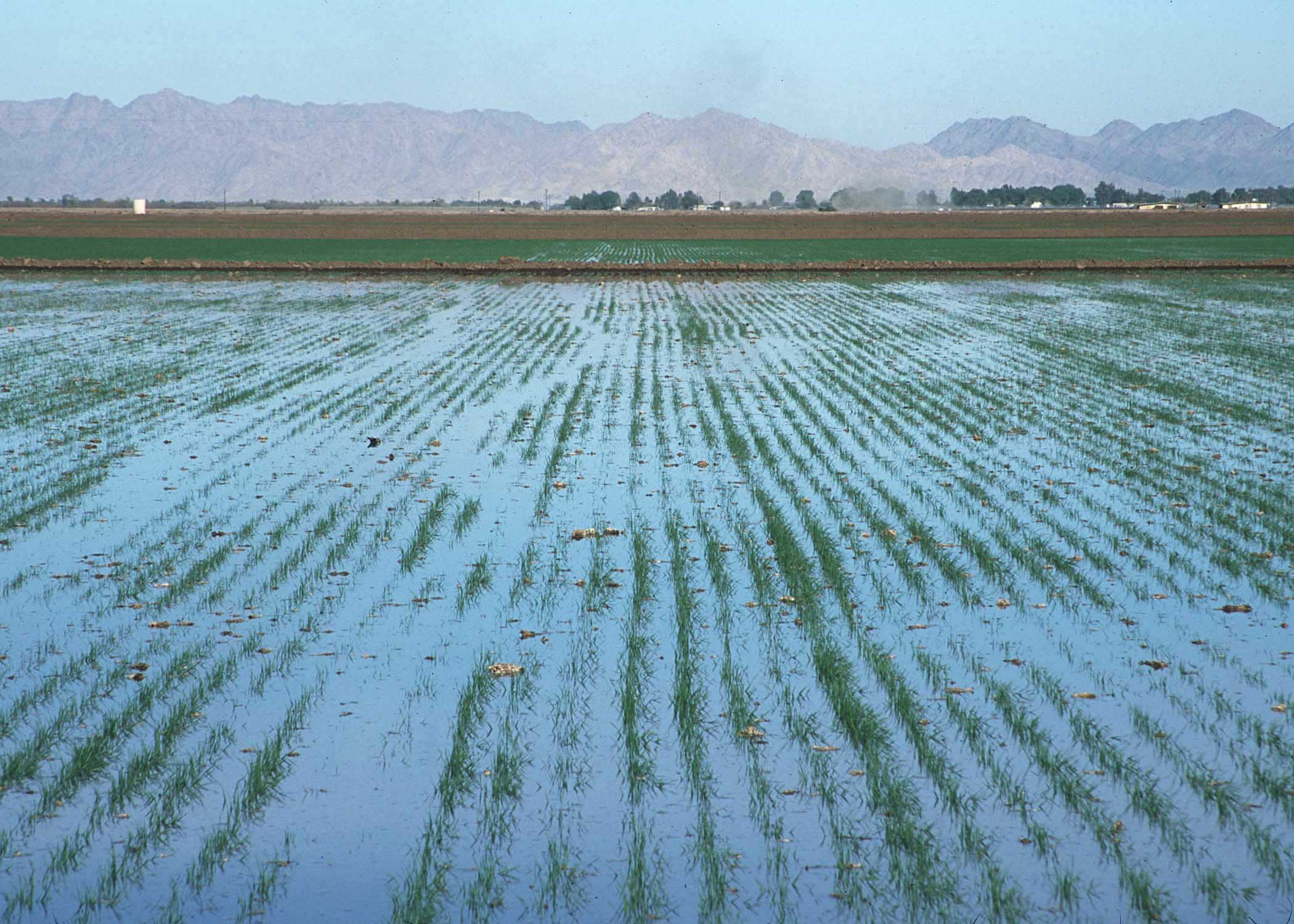
[caption id="" align="alignnone" width="620"] FacebookTwitterPinterest A view of Three Rivers in Queensland using the Digital Australia technology. Fractional cover can provide insights into areas of dry or dying vegetation and bare soil, as well as allowing the mapping of living vegetation. Photograph: Digital Earth Australia[/caption]
He also notes that the technology is also able to monitor how quickly crops are drying out, allowing farmers to adjust schedules for water and fertiliser application across large areas accordingly.
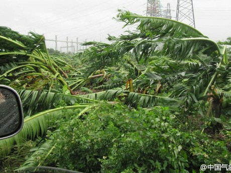
Minchin adds that flood risk could be counteracted by providing farmers with information about which specific paddocks or buildings are likely to become inundated based on weather forecasts combined with analysis of past flood levels.
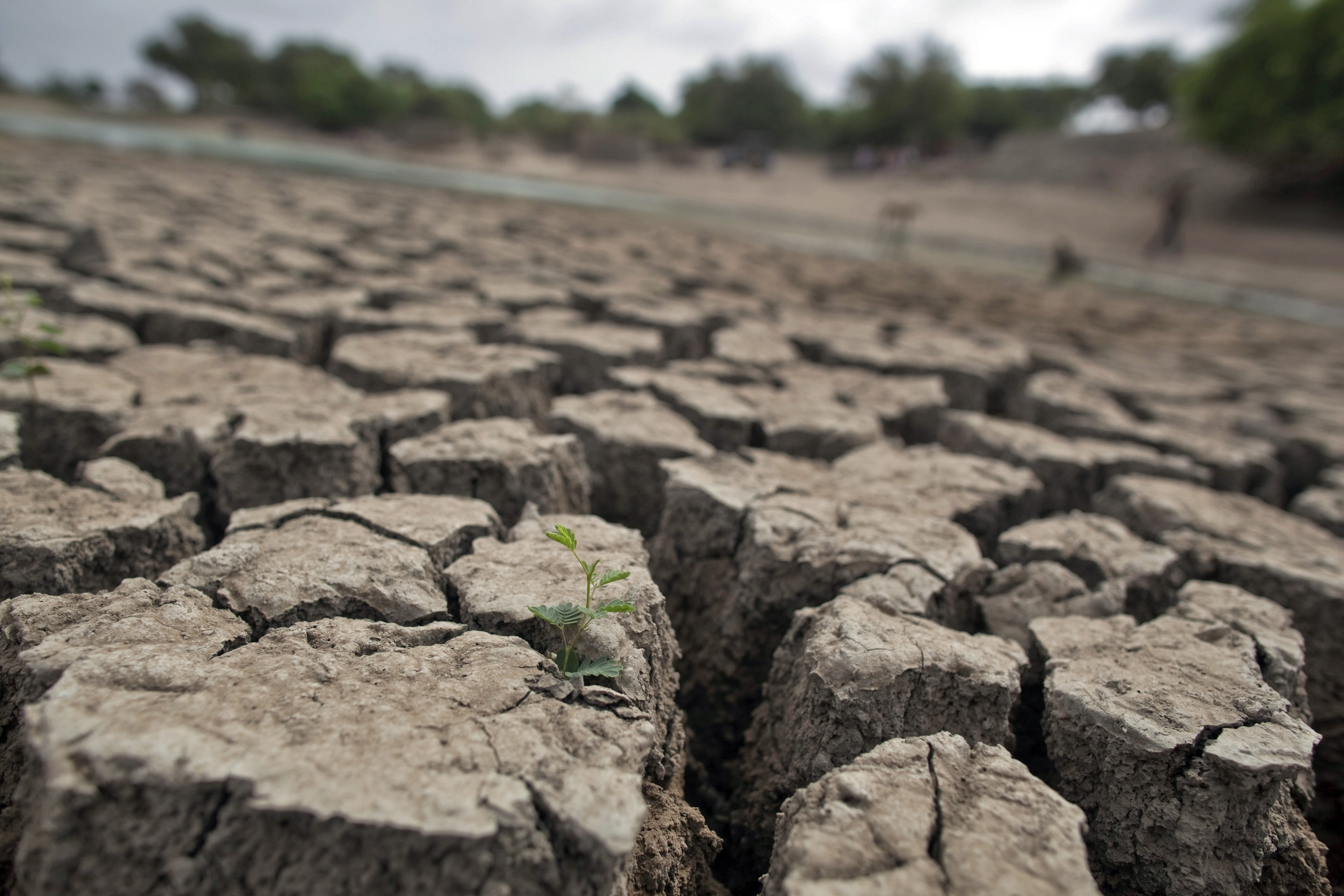
He says insurance companies are also interested in using satellite-based indexes on drought to provide insurance to farms, so if they get to certain levels of dryness they get a payout regardless of whether government declares drought.
Dr Graeme Kernich, the deputy chief executive of the part government funded CRCSI research group, says his organisation was involved in some of the early phases of development of the project and is pleased with how it has developed.
“We are road-mapping it now and intend to serve as a conduit for local industry, helping them identify low-hanging fruit which can be addressed by this technology,” he says.
In developing a continually evolving picture of countrywide vegetation cover, water supplies, coastal erosion and the impacts of flood and drought, the technology also has significant potential to analyse the biggest threat to Australian farmers – climate change, which is already reducing farm productivity and potential wheat yields.
Australian National University paleoclimate scientist Andrew Glikson says the federal government generally “did not want to accept the reality of climate science” but that the Digital Earth Australia product line it is funding should in any case “greatly improve detailed real-time monitoring of Australia’s landscape conditions, water resources, pasture and natural vegetation environments, as a function of changing climate conditions, with major contributions to research by government authorities, CSIRO, BOM, universities and the agricultural and mining sectors”.
Despite its potential, the capability to contribute to climate change research is not mentioned in the original project funding announcement by the resources minister, Matthew Canavan, nor in a Geoscience Australia site explaining the benefits of the project.
Canavan, who last year expressed “uncertainty” about climate change, told the Guardian in a statement that his announcement “provided examples of some of the practical uses of Digital Earth Australia, not a list of its limitations” and that he expects the technology “will have a wide range of applications, including information about climate change”.
For Geoscience Australia’s part, Minchin says the project has applicability in areas such as the monitoring of carbon farming initiatives but that climate change is not a “core focus” of the project, which he says focuses more on ways to help business productivity.
The University of Melbourne director of Centre for Spatial Data Infrastructures and Land Administration, Prof Abbas Rajabifard, says the applicability of the project to climate change depends in the end on “the authorities setting up the standardised protocols and specification for the development of analytical tools and applications”.
Source - https://www.theguardian.com