

USA - Planes may beat drones for crop scouting
28.03.2016 376 views
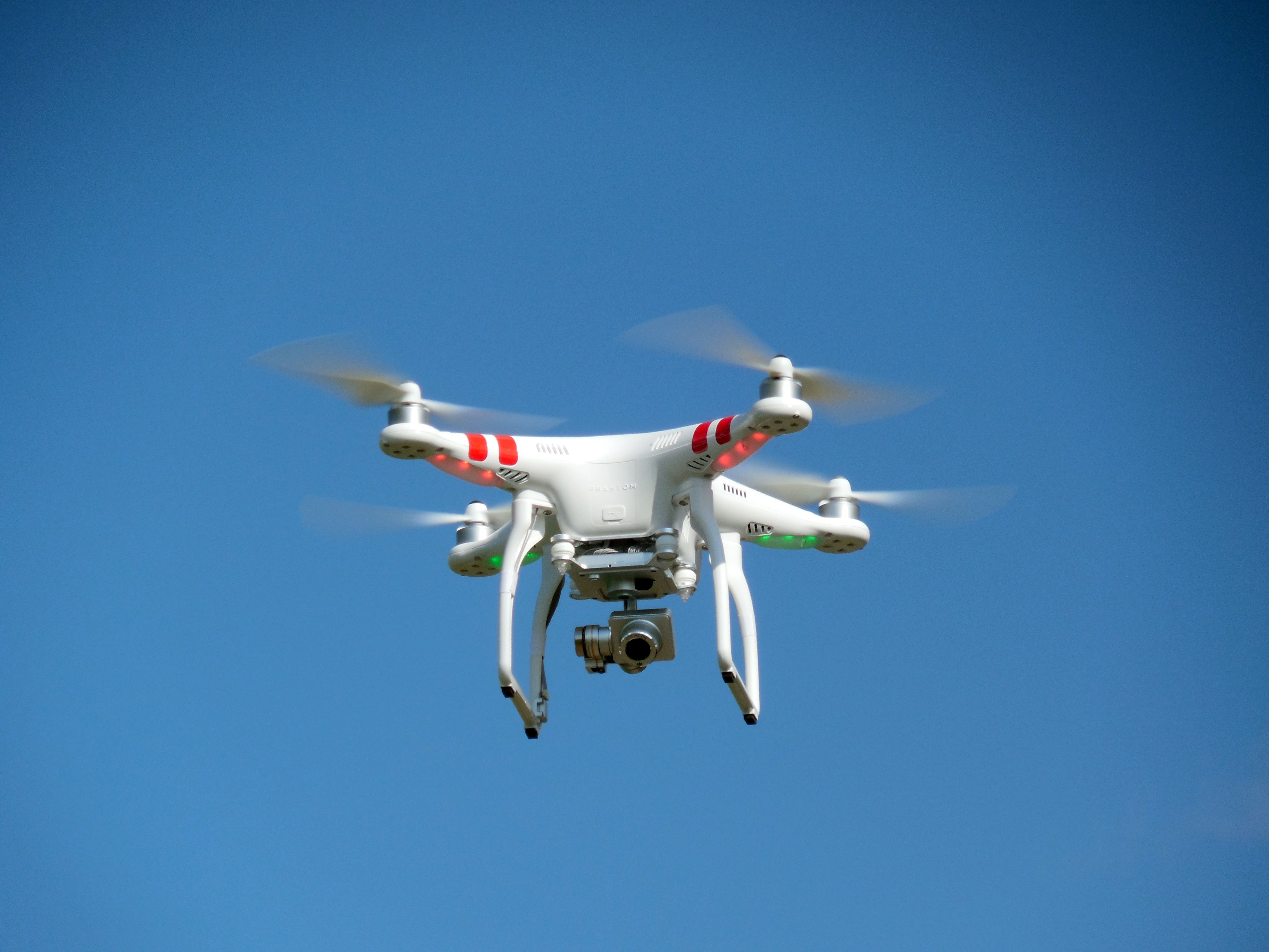
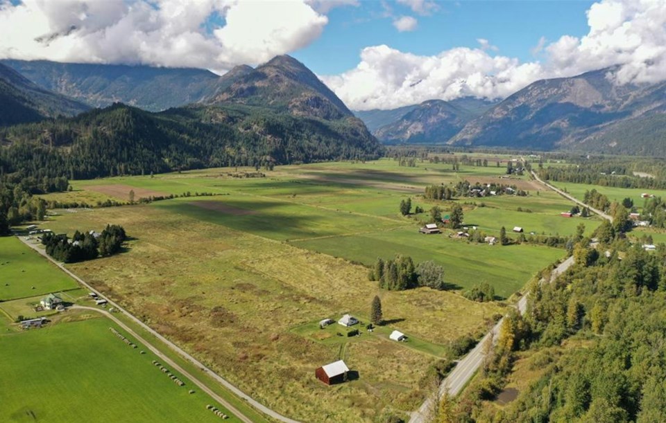
Drones are generating a lot of buzz as crop scouting tools, but farmers may actually get better information from a higher flying machine.
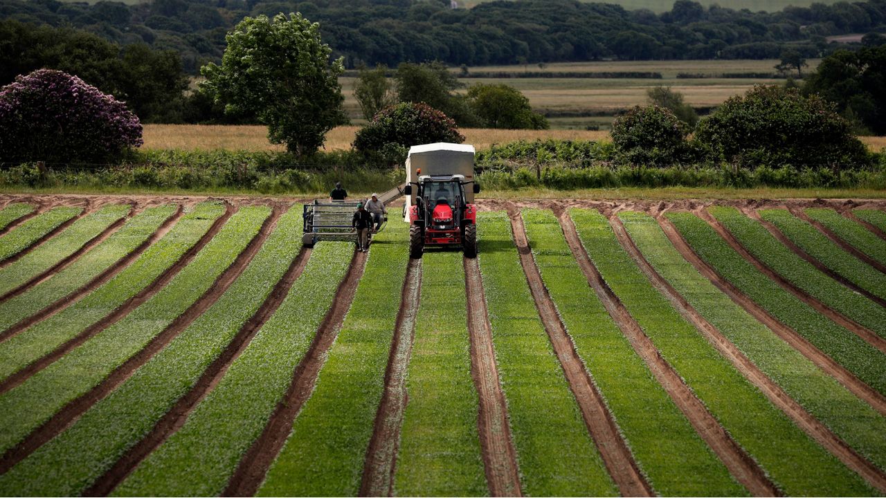
An airplane can capture high resolution photographs over a much larger area than a small, battery-powered drone can fly, said Bill Verbeten, owner of Empire Ag Imagery, based in Buffalo, N.Y.
If airplanes are like a massive, brand-new planter, “drones are more like a two-row planter,” Verbeten told attendees of last month’s Corn and Soybean Winter Congress at the Grantville Holiday Inn.
Both airplanes and drones operated for commercial purposes — such as managing crops — must be flown by someone with a pilot’s license, Verbeten said.
“There are not policemen running around chasing you down over this,” but if the drone has an accident, your insurance company will disavow you, said Joe Sommer, a Penn State mechanical engineering professor.
Verbeten’s company usually flies planes one to three days per week. One of his pilots may photograph a few thousand acres in less than a day, ranging all over western New York from Binghamton to Buffalo.
Planes can photograph fields in either sun or complete clouds. Partial cloud cover creates shadows that garble the imagery, Verbeten said.
To designate which fields are to be mapped, a farmer can simply provide the nearest road intersection. Verbeten’s team then organizes the farms into a flight plan based on map coordinates.
The planes’ cameras take hundreds of pictures at a resolution high enough to detect an iPhone from 1,000 feet above, Verbeten said.
Aerial imaging is often used to scout for problems with crop growth, whether caused by mechanical malfunction, spray damage, nutrient shortage or hail.
A rectangular dead area may indicate a problem with seed drop in that area, while a spidery break through the field may indicate a drainage issue, Verbeten said.
“Aerial imagery will never replace a crop scout,” but it can make an agronomist better, Verbeten said.
Photos of bare soil can map tile lines and erosion, Verbeten said.
Aerial imaging can be used to count plant populations, particularly in vegetable crops. One image in California counted 806,856 tomato plants in a field and was accurate within 0.8 percent, Verbeten said.
In an aerial photograph, only the area directly below the camera is seen exactly from above. Everything else is seen at a slight angle. A computer programs processes these images to show everything from the top, Verbeten said.
Cameras can take photos using sophisticated types of color receptivity. In an NDVI image, for example, plants show up in different colors depending on how healthy they are.
“If it affects crop health, you can probably measure it with NDVI,” Verbeten said.
Verbeten is trying to develop an imaging tool that will measure soil organic matter.
In New York, Empire’s services cost $3 to $5 per acre per flight. Verbeten gives custom quotes for Pennsylvania flights.
Though airplanes have their advantages, drone technology is getting better.
Older cameras that produced distorted images have been replaced by newer, more natural pictures, Sommer, the Penn State professor, said.
If the operator takes his hands off the controls, the drone will hover in place, guided by GPS. “They will hold station in 20 mile-per-hour winds,” Sommer said.
Farmers can design and save GPS-keyed flight plans, so a drone can fly the same path again and again, Sommer said.
Drone batteries still only last about 25 minutes, long enough to inspect about 50 acres on a charge. Drone payloads top out around 2 pounds, so their usefulness is mostly limited to photography, Sommer said.
“We’re not going to send this out to spray nitrogen,” Sommer said.
The challenge with aerial images, whether from a plane or drone, is how to act on the information they present.
A farmer probably will not replant a small flooded patch in the middle of a field, Sommer said.
Source - lancasterfarming.com
EVENTS

ScaleAgData Stakeholder Engagement Event
22.10.2024The ScaleAgData project is pleased to invite you to our second stakeholder event. Building on the discussions and connections formed during our first webinar, this event will focus on fostering collaboration among stakeholders, providing updates on our project’s progress, and outlining future opportunities for engagement.
RISK EVENTS

Moldova - May frosts caused heavy damage to fruit orchards
10.05.2026The first frosty nights of May have significantly worsened estimates of damage to Moldova's fruit sector from spring frosts. According to initial assessments by fruit market operators, between a quarter and a third of the country's total orchard area was seriously affected.
04.06.2026

India - Delhi raises crop damage compensation after 10 years by over 50% to Rs 75,000 per hectare
In a major relief for farmers, the Delhi government has increased compensation for crop loss caused by rain and hailstorms from Rs 20,000 per acre to Rs 75,000 per hectare.
04.06.2026

Why Tech-Driven Agro-Insurance Has Stumbled in Ethiopia
For decades, Ethiopia’s agricultural sector has remained trapped in a dangerous paradox.
04.06.2026
UK - Rural crime cost Wales £2.2m last year despite fall in offences
Rural crime cost Wales an estimated £2.2 million last year, with organised criminals continuing to target tractors, livestock and farming equipment despite an overall fall in offences, according to a new report.
04.06.2026

Kenyan Agro-Insurance Startup, Pula Raises US$ 20 Million in Series B Round
Pula, a Kenyan startup that offers insurance to small-scale farmers, aims to serve more than 100 million farmers in Africa after raising US$ 20 million in its Series B round.
04.06.2026
USA - USDA announces $52M to boost public access to private lands for hunting, fishing
The U.S. Department of Agriculture is announcing $52 million to help state and tribal governments encourage private landowners to allow public access to their land for hunting, fishing and other wildlife-dependent recreation through the Voluntary Public Access and Habitat Incentive Program (VPA-HIP).
04.06.2026
Hope Grows in Malawi’s Grain Stores as Farmers Battle Post-Harvest Losses
Some grain rots in poorly ventilated storage. Some is eaten by pests. Some is damaged during drying or transportation before it ever reaches the market.
03.06.2026
Canada - AFSC extends several northern Alberta seeding dates for 2026
Alberta’s Agriculture Financial Services Corp. (AFSC) is extending the recommended seeding dates in the province’s northeast, northwest and Peace regions for several crops for the 2026 growing season only.
03.06.2026

India - Elephants run amok in Konaje agricultural farm, cause massive crop damage
A herd of elephants, including calves, wreaked havoc on an agricultural farm belonging to Yashodhara Gowda at Pallattadka in Konaje village of Kadaba taluk.
