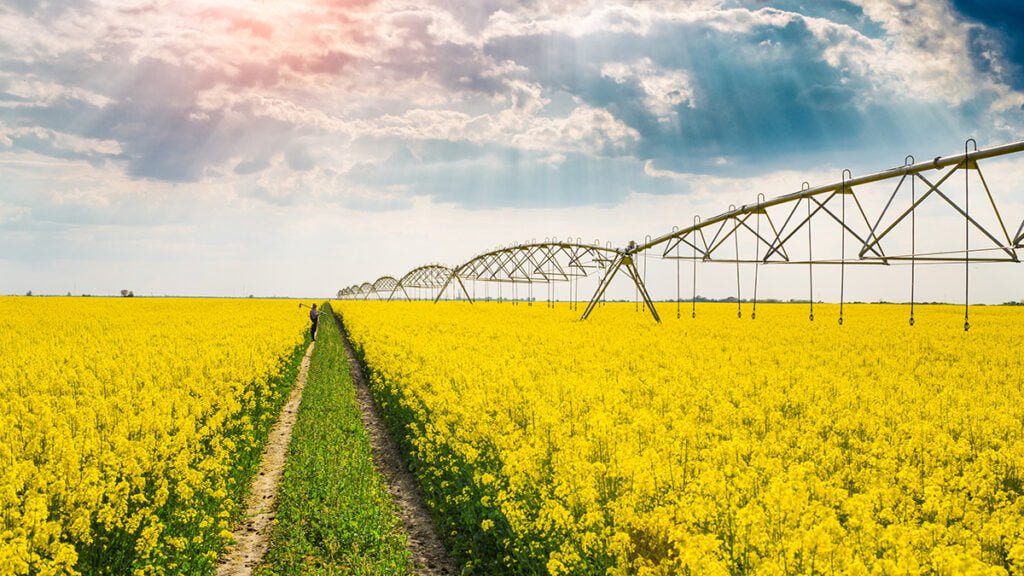
With drought’s claws firmly gripping much of Queensland and an increasing area of north-western NSW, farmers will look to the weekend for short-lived relief as the heatwave sweeping the country peaks today.
After breaking records in the south, the mass of heat should dissipate slightly as it moves north, bringing extreme heatwave conditions back to Queensland by Monday according to the Bureau of Meteorology's Pilot Heatwave Forecast (see graphic and forecast below).
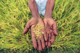
Although the majority of Australian croppers grow winter crops, summer crop growers and livestock producers have borne the brunt of the heat’s force. Vegetable producers and dairy farmers have also struggled in recent weeks. Dairy cows are sensitive to high temperatures, which can lead to a reduction in their milk production.
“Farmers look at long-term predictions, they look at science ...”National Farmers Federation president Brent Finlay told ABC radio that Australian producers were adaptable and would find ways of coping with the heat.
“Farmers look at long-term predictions, they look at science, they look at reports and factor that into their strategic planning," he said.
"It’s something we’ve been dealing with for years.”
On Thursday Adelaide recorded South Australia’s high of 46.4°C at Roseworthy just before 2pm, breaking the record high of 46.1°C set on January 12, 1939. Keith in the State's south-east hit 45.9°C, while Snowtown residents hopefully saw the irony of their 45.5°C peak.
Adelaide the hottest city on the planetThe United Nations' World Meteorological Organisation declared Adelaide the hottest city on the planet yesterday after overnight temperatures hovered around 30°C for much of the city.
Meanwhile Victoria saw tops past 44°C in the south-west, as Melbourne recorded 43.9°C around 3pm.
As the brutal heat took its toll on southerners, scientists warned such extreme conditions could soon become the norm.
The new year heatwave, which began on December 27 in Western Australia before spreading slowly across to the east, set records at 34 sites (mostly in Queensland and northern NSW) where data has been collected for at least 40 years.
In a Special Climate Statement, the Bureau of Meteorology described that heatwave as a ''highly significant'' event.
The mass of exceptionally hot air travelled virtually 360 degrees around Australia after first forming over the Nullarbor in December, Weatherzone senior meteorologist Max Gonzalez said.
“When it comes to extreme temperature, the future is looking pretty bleak”With concurrent heatwaves benchmarking summer 2014, some researchers are expressing grave concerns.
Sarah Perkins, a research fellow at the Climate Change Research Centre, UNSW, said: "When it comes to extreme temperature, the future is looking pretty bleak".
"Crops such as fruit, wheat and maize have finite temperature thresholds," she said.
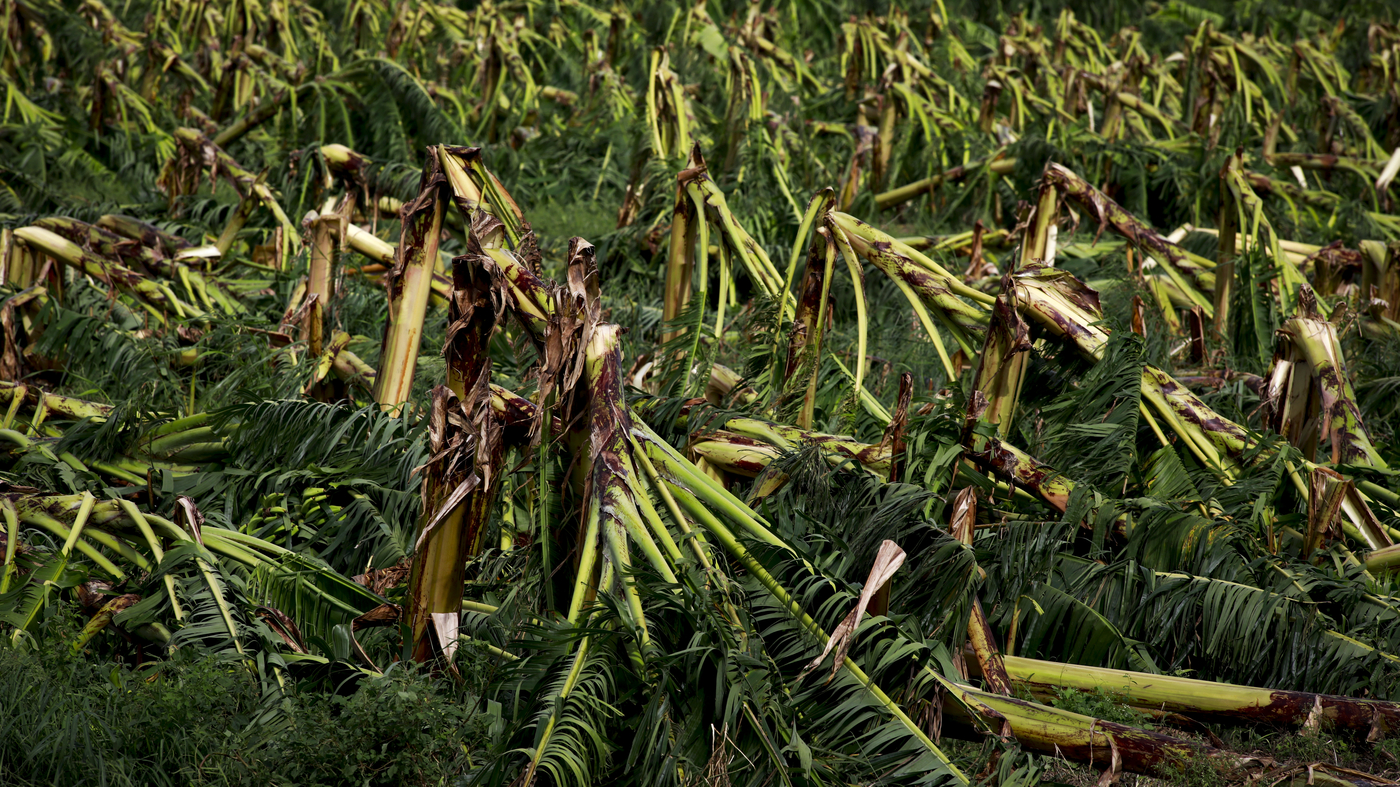
"The occurrence of these temperatures, particularly in the form of a heatwave during the traditionally cooler growing season, can lead to massive crop failure.
"NSW recently saw an extremely early start to the bushfire season. This was, at least in part, due to extreme temperatures relative to winter and spring drying out the fuel load, and shortening the delicate hazard-reduction season.
"The recent Intergovernmental Panel on Climate Change report states hotter temperatures will occur more often.
"Heatwaves are no exception."
The recently formed Climate Council – created after the new federal government disbanded the national Climate Commission in September 2013 - released interim findings from its new heatwave report, Australian Heatwaves: Hotter, Longer, Earlier and More Often.
"It is clear that climate change is making heatwaves more frequent and severe," report author Professor Will Steffen said.
"Heatwaves have become hotter and longer, and they are starting earlier in the season."
The report found heatwaves were likely to last longer and become more intense as greenhouse gases continued to accumulate in the atmosphere, and also stated the number of hot days across Australia had more than doubled.
A deep low over the north of Western Australia is feeding tropical moisture into the north-west of South Australia.
A trough of low pressure near Ceduna will move northeastwards to reach a line near Wudinna to Kingscote to Robe late Friday morning, Cleve to Adelaide to Keith late afternoon and Woomera to Hawker to Renmark late evening.
A milder southerly change will follow as a high ridges in south of the Bight during the weekend.
A high pressure system over the Tasman Sea is directing a very hot northerly airstream across Victoria. A cold front moving over the Bight will reach south-west Victoria on Friday afternoon, moving across western and central districts late in the day before stalling over the north-east early on Saturday.
A cool and gusty southerly change will accompany the front as it crosses the State, which will weaken over the north-east early Saturday. Another high pressure system will drift over waters south of the Bight during Saturday and Sunday with a ridge persisting to the south of Victoria during Monday.
The low pressure trough will bring slightly cooler conditions to southern and central districts of NSW, but with negligible effect in the north.
Following this, another high will shift to the Tasman Sea early in the new week, while another trough becomes established over western NSW.
Source - http://www.farmweekly.com.au/