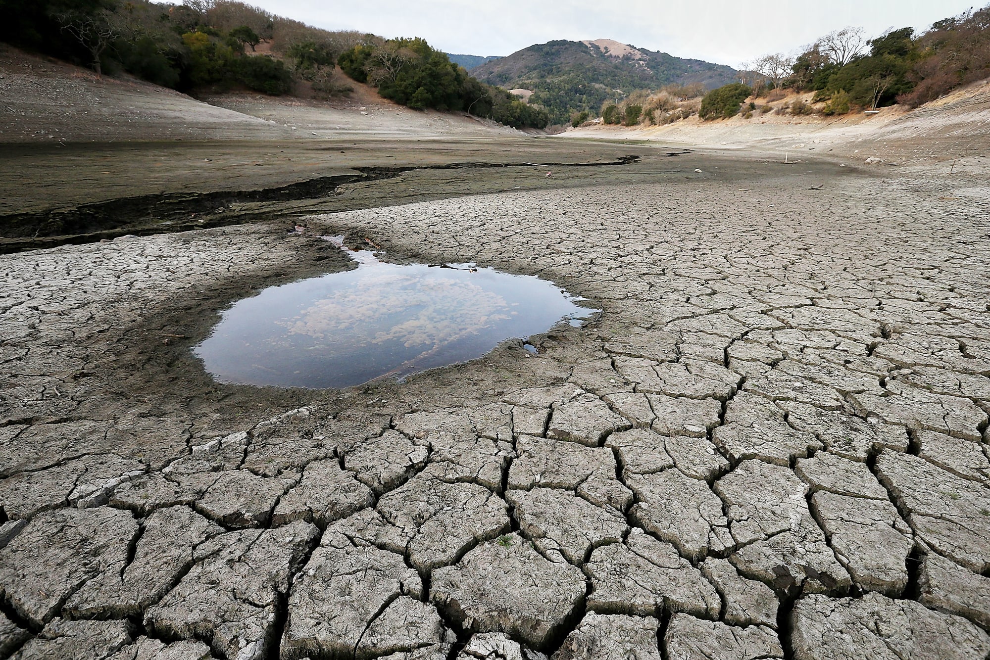
As rural broadband access reaches a critical mass, the cost of bringing Big Data and the Internet of Things (IoT) to the farm has decreased. “Farm Tech startup investment bucked global venture capital markets across sectors by increasing 6.8% year-over-year to $4.7 billion in 2019; some 370% more than in 2013.”
To best evaluate the different offerings, it is important to understand the variability in remote sensing sources and technology. Each source of data has a different value for different aspects of the agriculture market. And in the end, different insights can be produced with access to the same data source.
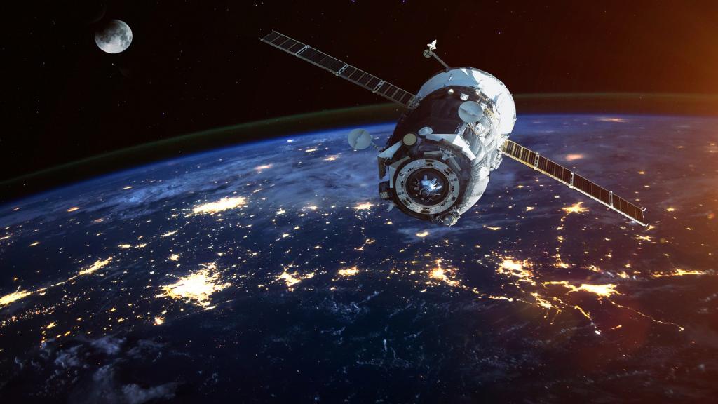
The Basics: Satellite Remote Sensing for Agriculture
While using satellite data doesn’t require an in-depth understanding of how the technology works, having working knowledge of a few key concepts helps to better understand what is feasible with the technology.
In Understanding and Evaluating Satellite Remote Sensing Technology In Agriculture, we cover these four key principles:
- Resolutions and Revolutions
- Cross-Calibrating Measurement
- Crop Health Indices
- The Power of Processing
This is a great resource and worth a read for anyone looking to build their knowledge base. In this post, we’re going to build on this by taking a closer look at various remote sensing sources for imagery.
Remote Sensing Sources
Depending on the needs of the end user, various remote sensing sources can help solve the same problem. Each solution offers tradeoffs between resolution, data quality, availability, and cost. Geosys serves as a veteran in remote sensing technology with 30+ years of experience using satellite data in addition to aerial and drone imagery. Due to the need for scalability and quantity requirements, satellites serve as our main source of data.
High-Resolution Satellites have a spatial resolution between 3 meters and 30 centimeters. These satellites acquire data based on a tasking schedule. Customers request an area of interest (AOI) and time of interest (TOI) to be placed on this schedule – timing from request to acquisition varies, but typically an image is received within 1-4 weeks. All images are stored in an archive and available for purchase at a discounted price when compared to tasking a new image. Examples of high resolution satellites include Pleiades and Deimos-2.
Due to their resolution and coverage area, high-resolutions satellites can be valuable for agriculture. Acquisition swath widths range from 12-20 km, so one single image will often cover multiple fields – decreasing the costs-per-acre with larger requests. Data quality is very high which allows for comparing one image to the next, as well as one field to another. However, there are also some drawbacks.
Tasking a single AOI and TOI costs roughly $1,500-$4,000 USD per image depending on the source and size. Small swath widths require multiple images to cover wide production areas like the Midwest. So, it is not economical to create a monitoring program. Single image requests will be reactive, requiring intervention from a person to monitor for events that may have happened and initiate the request for a new image. Archive images can be available for purchase at a lower price but coverage in the archive depends on previous customer purchase and varies greatly throughout the country. As an example, areas in California could have 10-20 high resolution images in a single year as opposed to an area in South Dakota having one image every few years. Images from high-resolution satellites also require specialized software to process and store the data.
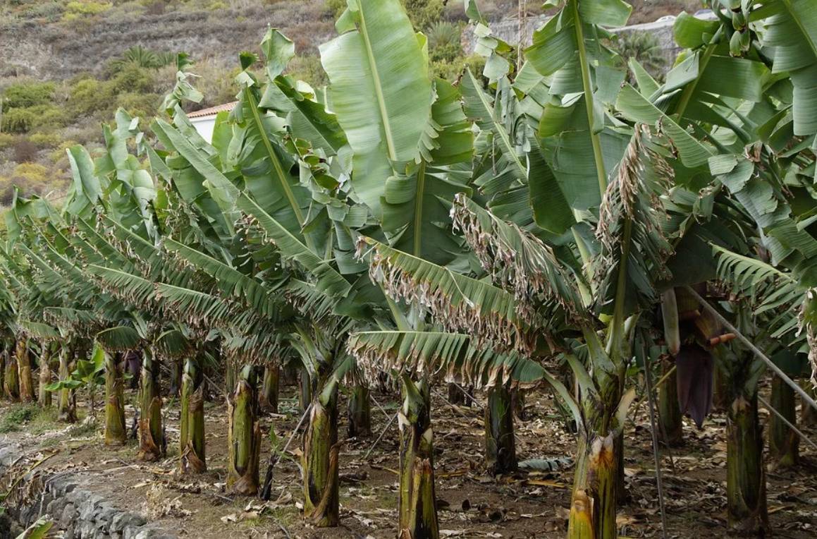
Medium-Resolution Satellites have a spatial resolution between 30 meters and 3 meters. These satellites acquire imagery both systemically and via tasking. Systemic data collection means the satellite is continuously acquiring data. Landsat 8 and Sentinel 2 are examples of satellites with systemic data collection. This systemic data collection allows these satellites to build a very large archive of data. Images are typically available for consumption two days after acquisition.
Medium-resolution satellites are highly suited for agricultural monitoring due to their high revisit rate and economical pricing. With swaths ranging from 300-800 km, a single image provides large coverage. Landsat 8 and Sentinel 2 are owned by government agencies, so their data is available for free download. As mentioned before, processing is still required and brings true value to the data. Scientific grade data from high-end satellites like these allow customers to view changes at the intrafield level to identify issues with the crop as the season progresses. While archive data allows you to identify if an issue has existed in past seasons.
Since medium-resolution images use a larger pixel, it can be difficult to identify specific issues within a field. For this reason, much of the data is used for various indices such as NDVI. True color imagery from medium resolution satellites do not provide much value to the agriculture market.
Low-Resolution Satellites have a spatial resolution between 1 km and 30 meters. These satellites systemically collect data for the entire earth at a high frequency – typically daily – with images available one to two days after acquisition. Examples of low resolution satellites are Modis Terra, Modis Aqua and Proba-V. With global coverage and years of service, these satellites offer a vast depth of archive data. Low-resolution satellites with daily data are best used to monitor field and regional level values to identify large issues with crops in an area. However, pixel size makes this data unlikely to provide value when identifying issues that only effect a portion of a field.
Aerial Imagery is acquired using cameras attached to airplanes and provides spatial resolutions from 5-150 cm depending on the sensor. This data is potentially very valuable for specific needs due to the responsiveness of scheduling a flight and the high resolutions available from different sensor providers. Flights are scheduled like a tasked satellite where the customer provides an AOI and TOI. Many aerial imagery providers have monitoring offers where they will fly over the AOI multiple times per season to help provide data when it is needed by the customer. Aerial imagery sensors collect data using many of the same wavelengths as satellite imagery, allowing for some comparison between the two. While aerial imagery can acquire images on cloudy days, which could still provide value to the customer, shadows from the clouds will cause abnormalities in the data when trying to generate indices such as NDVI.
Aerial imagery costs vary widely depending on the acquisition plan. Most of the cost is associated with the initial take-off of the plane. If a customer can purchase a large AOI, the costs per acre are lower (example 100,000 acres in one flight at $0.30 per acre). Single flight plans with a small AOI range in pricing from $5-20 per acre. Some aerial providers offer monitoring plans which include multiple TOI throughout the season to lower the cost per image.
Aerial imagery has lower scientific value due to the different lighting and atmospheric conditions from one pass to the next, or at the start to end of flight. The difficulties with cross calibration can cause concerns with truly understanding the cause of changes from one image to the next. Variability within a single image is still valuable but comparison from one image to the next can be very complicated.
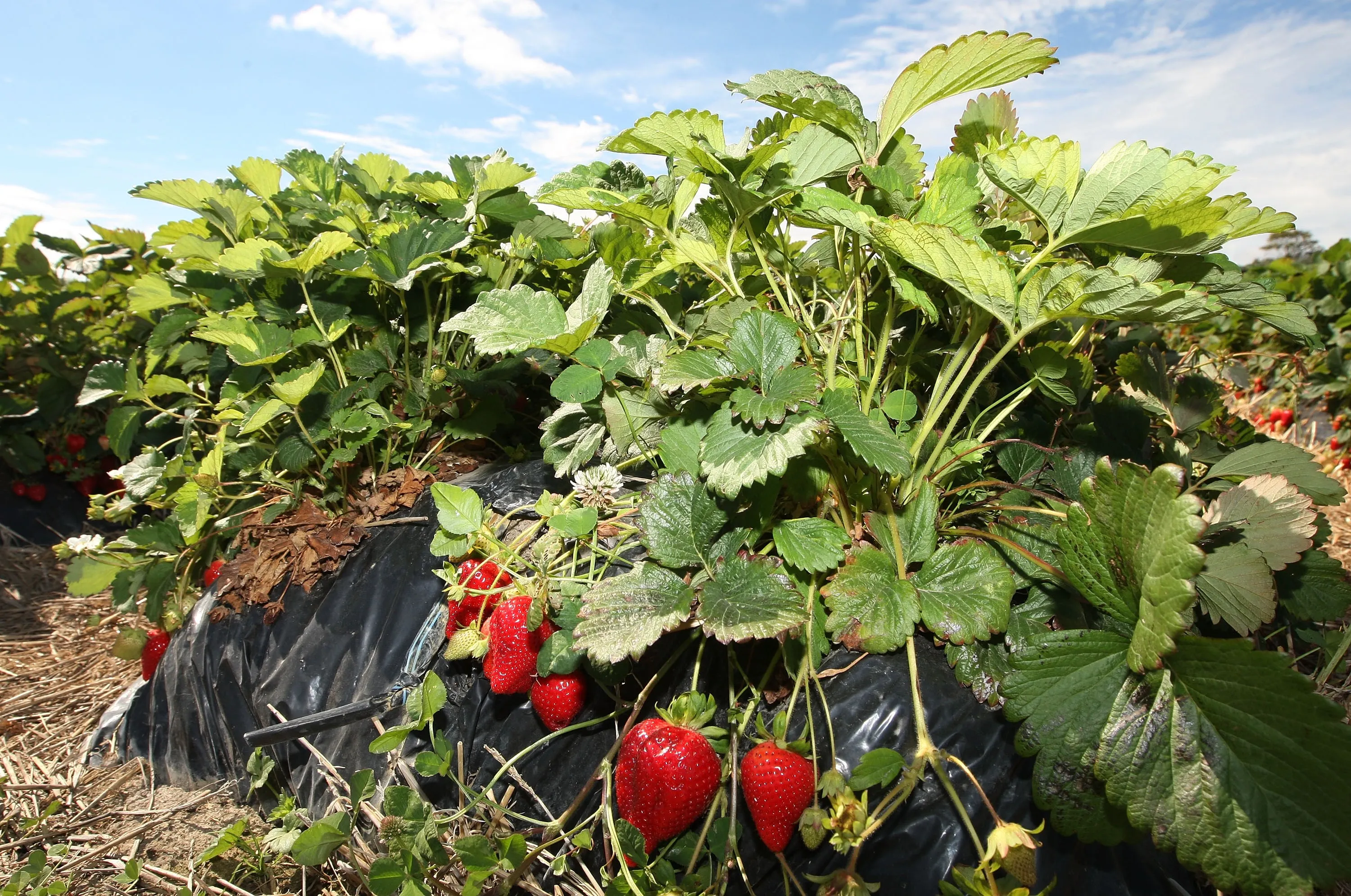
Drone Imagery can be valuable for localized scouting due to the ability to collect very-high-resolution data. The cameras used on a drone vary from high end multispectral cameras to simply optical cameras for taking pictures. Optical drone imagery is ideal for taking a picture from a different perspective than an adjuster on the ground. However, optical imagery does not provide any scientific comparison and is likely just a supporting piece of data. With very-high-resolution data from drone images, customers are able to see characteristics not possible with satellite and aerial. Stand counts, disease identification, weed vs. crop and other use cases are likely only available with drone imagery.
Multispectral drone imagery is capable of very-high-resolutions, but vary based on the sensor on the drone, elevation of the flight and data processing. Depending on the capabilities of the drone, an image may consist of multiple flights over the field and data will need to be stitched together to complete the map for a single field. This can cause data quality concerns with the varying lighting and atmospheric conditions between each pass.
Technology to Support Your Business
As more providers enter the agriculture market offering remote sensing data, understanding the basic functionality of the technology becomes increasingly important. We want to empower agribusinesses to best evaluate the different remote sensing sources and the services available in order to assess them against their individual business needs.
Source - https://www.urthecast.com