A crop health measure for potato derived from satellite and weather-based data can minimise the discrepancy between actual crop losses and insurance payouts to ensure more precise compensation.
Researchers at multiple institutions, including the Mahalanobis National Crop Forecast Centre in Delhi, used data from Sentinel-1 and Sentinel-2 satellites, weather datasets and mobile app-based field data to create a composite index called the Crop Health Factor (CHF).
It incorporates multiple indicators of crop health, such as the Normalized Difference Vegetation Index and Land Surface Water Index.
The CHF was validated using data from 2016 to 2019 and applied to test potato crop losses and calculate insurance payouts in West Bengal during the 2020 cultivation season.
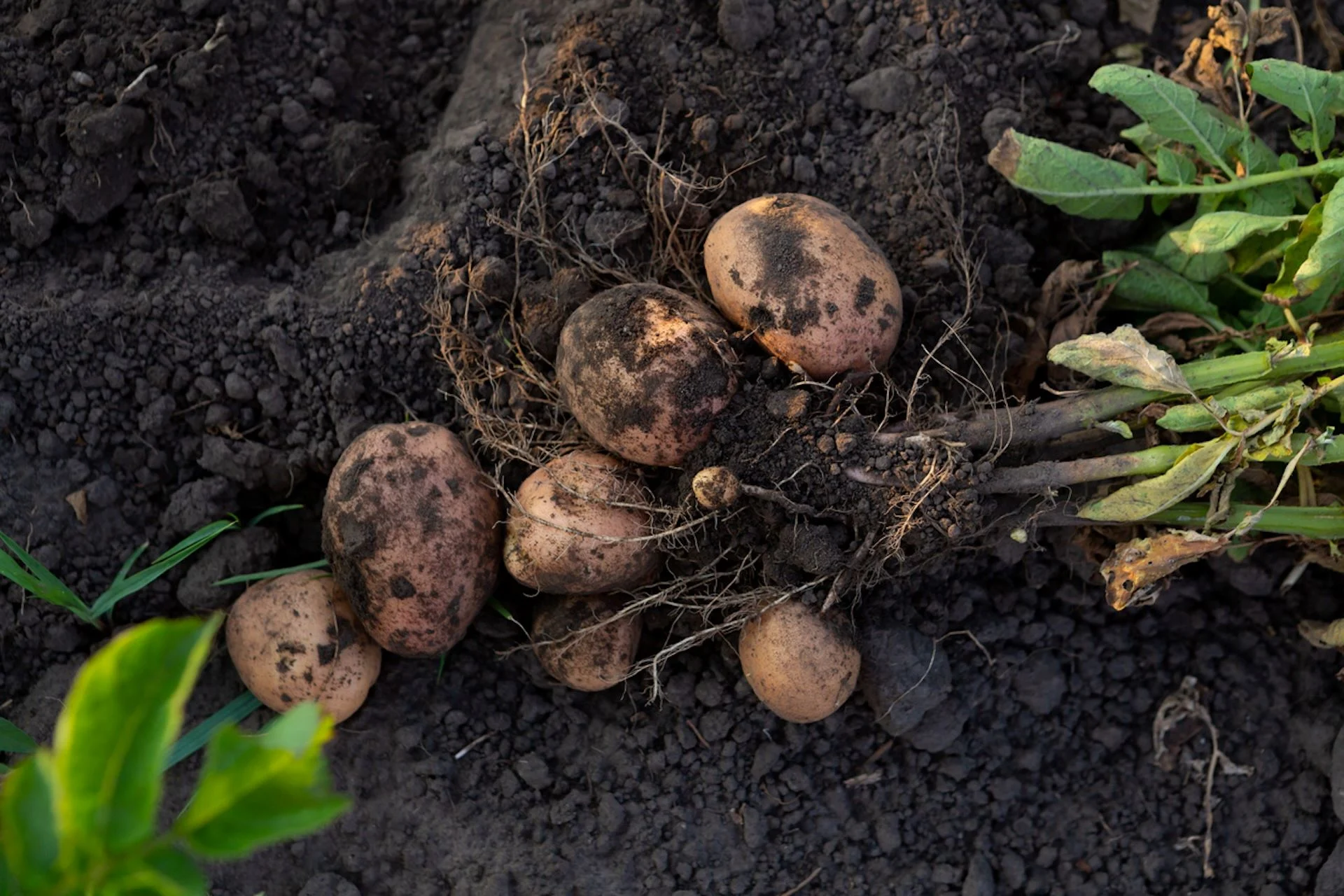
Potato crops have unique spectral response patterns compared with those of other standing crops due to their phenology, duration and rapid growth with dense foliage. This is an advantage when producing accurate satellite-based crop maps.
The study found that the CHF closely matched traditional yield estimates, demonstrating its potential as a reliable proxy for crop performance. It was implemented across 500,000 hectares of potato fields in West Bengal, covering about 1,000 insurance units.
The researchers say using the CHF method can mitigate the primary drawback of physical yield measurements — under-reported yields lead to exaggerated insurance payouts.
They suggest that the index could be further improved by integrating additional features.
Source - https://www.nature.com